Ivory Coast Vector EPS maps
Our collection of Ivory Coast Vector EPS maps is a comprehensive set of digital maps that are designed using Adobe Illustrator. These maps are perfect for web designers, graphic designers, and cartographers who need accurate and detailed maps of Ivory Coast.
Each map in our collection is created with precision and attention to detail, ensuring that all the important features of Ivory Coast are accurately represented. This includes the location of major cities, towns, and villages, as well as important landmarks, rivers, and mountains.
Our Ivory Coast Vector EPS maps are also designed to be easy to use and customize. They are fully editable, allowing you to add your own labels, annotations, and other design elements. You can also change the colors and styles of the maps to match your branding or design needs.
Whether you are creating a website, a brochure, or a presentation, our Ivory Coast Vector EPS maps are an essential tool for any project that requires accurate and detailed maps of Ivory Coast. So, if you need high-quality maps of Ivory Coast, look no further than our collection of Ivory Coast Vector EPS maps.
Showing all 11 resultsSorted by latest
-

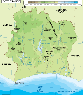
Ivory Coast physical eps map vector
50.00 € Select options -

Ivory Coast transportation eps map vector
55.00 € Select options -
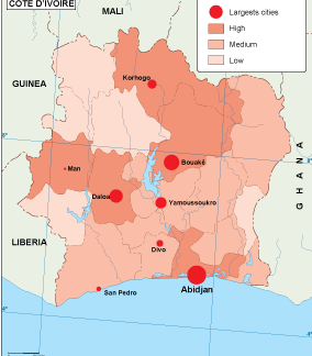
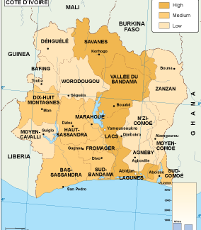
Ivory Coast population eps map vector
60.00 € Select options -
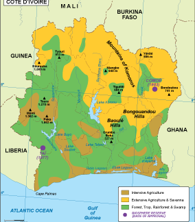
Ivory Coast vegetation eps map vector
70.00 € Select options -
Ivory Coast EPS map vector
80.00 € Select options -
Ivory Coast economic eps map vector
75.00 € Select options -
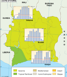
Ivory Coast climate eps map vector
65.00 € Select options -
ivory coast illustrator eps map vector
29.00 € Select options -
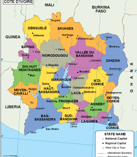
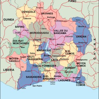
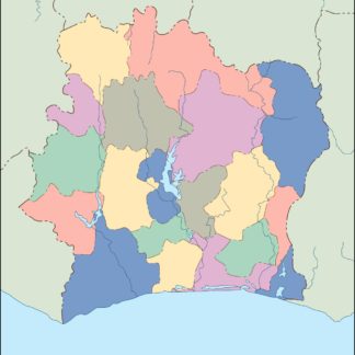
ivory coast political eps map vector
99.00 € Select options -
ivory coast blind eps map vector
35.00 € Select options -
ivory coast eps map vector
39.00 € Select options

Showing all 11 resultsSorted by latest