Poland Vector EPS maps
Poland Vector EPS maps are a collection of digital maps created using Adobe Illustrator software. These maps are designed to provide accurate and detailed information about the geography, cities, and important landmarks of Poland.
The maps are available in various formats, including EPS, which is a vector-based format that allows for easy scaling and editing without losing quality. This makes them ideal for use in a wide range of applications, including web design, graphic design, and print media.
The Poland Vector EPS maps include detailed information about the country’s major cities, such as Warsaw, Krakow, and Gdansk, as well as important landmarks like the Wawel Castle, the Royal Castle in Warsaw, and the Auschwitz-Birkenau Memorial and Museum.
In addition to providing information about the country’s geography and landmarks, the maps also include important information about Poland’s transportation infrastructure, including major highways, railways, and airports. This makes them an invaluable resource for anyone planning a trip to Poland or conducting business in the country.
Overall, the Poland Vector EPS maps are an essential tool for anyone looking to explore or do business in this fascinating country. With their detailed information and high-quality design, they are sure to be a valuable addition to any project or website.
Showing 1–16 of 38 results
-

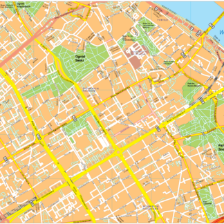
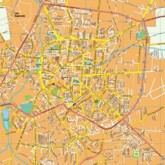
Warsaw Vector EPS map vector
280.00 € Select options -
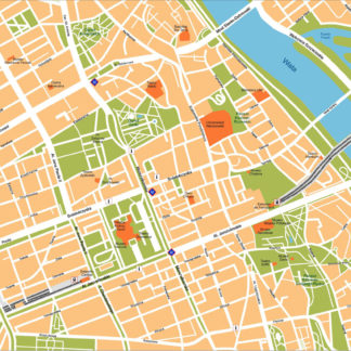
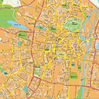
Warsaw Illustrator eps map vector
160.00 € Select options -
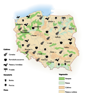
Poland Agricultural eps map vector
70.00 € Select options -

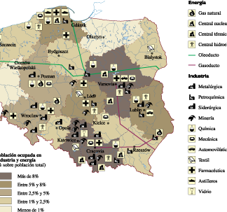
Poland Economic eps map vector
75.00 € Select options -
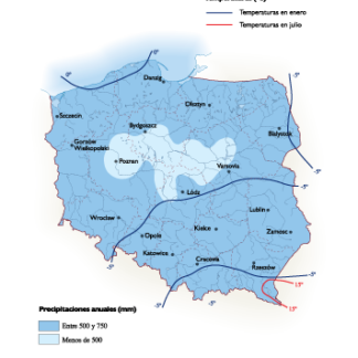
Poland Climate eps map vector
65.00 € Select options -
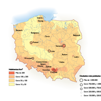
Poland Population eps map vector
60.00 € Select options -
Zielona gora EPS map vector
395.00 € Select options -
Zabrze EPS map vector
395.00 € Select options -
Wroclaw EPS map vector
495.00 € Select options -
Warszawa EPS map vector
595.00 € Select options -
Torum EPS map vector
395.00 € Select options -
Szczecin EPS map vector
395.00 € Select options -
Sosnowiec EPS map vector
395.00 € Select options -
Rzeszow EPS map vector
395.00 € Select options -
Radom EPS map vector
395.00 € Select options -
Poznan EPS map vector
495.00 € Select options


Showing 1–16 of 38 results