Cameroon Vector EPS maps
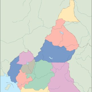
Cameroon Vector EPS maps are a collection of digital maps created using Adobe Illustrator software. These maps are designed to provide accurate and detailed information about the geography, topography, and political boundaries of Cameroon. The maps are available in vector format, which means that they can be scaled up or down without losing their quality.
The Cameroon Vector EPS maps include information about the major cities, towns, and villages in the country, as well as important landmarks and natural features. The maps also show the location of national parks, wildlife reserves, and other protected areas.
Cameroon is located in Central Africa and is bordered by Nigeria to the west, Chad to the northeast, the Central African Republic to the east, and Equatorial Guinea, Gabon, and the Republic of the Congo to the south. The country has a diverse landscape that includes mountains, forests, savannas, and coastal plains.
Some of the major cities in Cameroon include Yaoundé, the capital city, Douala, the largest city and economic center, and Bamenda, a major regional hub in the northwest. Other important cities include Bafoussam, Garoua, and Maroua.
Overall, the Cameroon Vector EPS maps are an essential tool for anyone who needs to navigate or understand the geography of Cameroon. They are useful for businesses, researchers, educators, and travelers who want to explore the country’s diverse landscape and cultural heritage.
Showing all 11 resultsSorted by latest
-

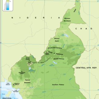
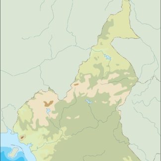
Cameroon physical eps map vector
50.00 € Select options -
Cameroon transportation eps map vector
55.00 € Select options -
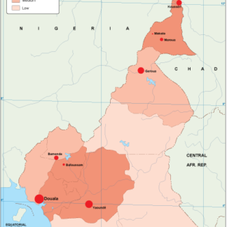
Cameroon population eps map vector
60.00 € Select options -
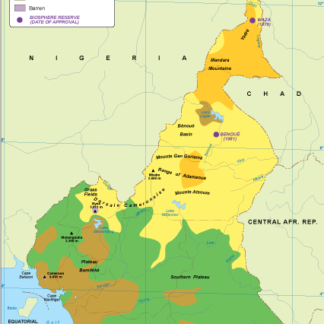
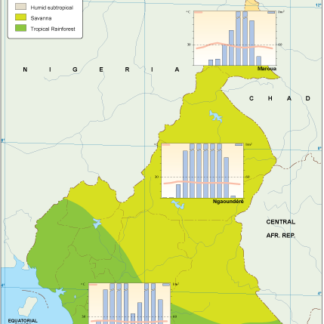
Cameroon vegetation eps map vector
70.00 € Select options -
Cameroon EPS map vector
80.00 € Select options -
Cameroon economic eps map vector
75.00 € Select options -
Cameroon climate eps map vector
65.00 € Select options -
cameroon illustrator eps map vector
29.00 € Select options -
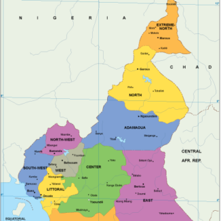
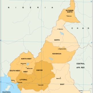
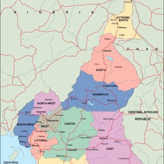
cameroon political eps map vector
99.00 € Select options -
cameroon blind eps map vector
35.00 € Select options -
cameroon eps map vector
39.00 € Select options

Showing all 11 resultsSorted by latest