Croatia Vector EPS maps
Welcome to epsmaps.com, your go-to source for high-quality digital maps in Adobe Illustrator EPS format. Our collection includes maps of various countries, each with unique features and details that are essential for businesses and organizations.
One of our popular offerings is the Croatia Vector EPS maps, which provide a comprehensive view of this beautiful country in southeastern Europe. These maps are created using vector graphics, which means they can be scaled to any size without losing quality.
Our Croatia Vector EPS maps include all the major cities and towns, as well as important landmarks and geographical features. You can easily customize these maps to suit your specific needs, whether you’re creating a marketing campaign, planning a business trip, or conducting research.
Croatia is known for its stunning coastline, with the Adriatic Sea bordering the country to the west. The capital city, Zagreb, is located in the north and is home to many cultural and historical attractions. Other notable cities include Split, Dubrovnik, and Rijeka.
Our Croatia Vector EPS maps also highlight the country’s national parks, such as Plitvice Lakes and Krka, which are popular tourist destinations. Additionally, the maps show the borders of neighboring countries, including Slovenia, Hungary, Serbia, and Bosnia and Herzegovina.
Whether you’re a business owner, marketer, or researcher, our Croatia Vector EPS maps are an essential tool for understanding and navigating this fascinating country. Browse our collection today and discover the power of high-quality digital maps.
Showing all 11 results
-

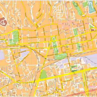
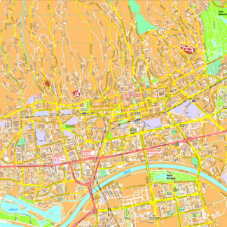
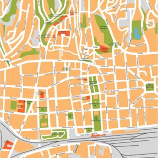
Zagreb Vector EPS map vector
280.00 € Select options -
Zagreb Illustrator eps map vector
160.00 € Select options -
Zagreb eps map vector
845.00 € Select options -
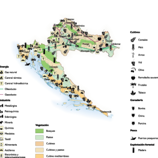
Croatia Economic eps map vector
75.00 € Select options -
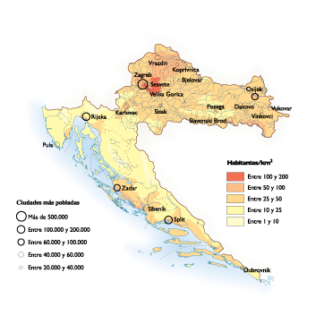
Croatia Population eps map vector
60.00 € Select options -
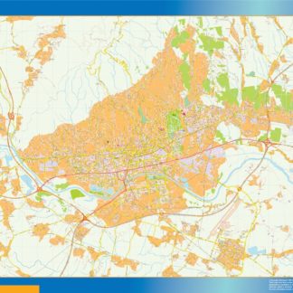
croatia illustrator eps map vector
29.00 € Select options -
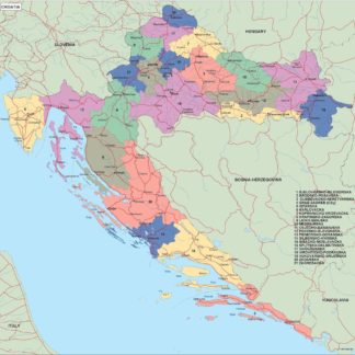
croatia political eps map vector
99.00 € Select options -
croatia blind eps map vector
35.00 € Select options -
croatia eps map vector
39.00 € Select options -
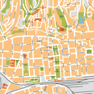
Zagreb eps map vector
495.00 € Select options -
Zagreb eps illustrator vector map
140.00 € Select options

Showing all 11 results