Ghana Vector EPS maps
Our collection of digital maps in Adobe Illustrator EPS format includes maps of various countries, including Ghana. These maps are highly detailed and accurate, making them ideal for a wide range of applications, from educational materials to business presentations.
The Ghana Vector EPS maps in our collection provide a comprehensive overview of the country’s geography, including its borders, major cities, and important landmarks. These maps are designed to be easy to read and understand, with clear labeling and intuitive symbols.
Whether you’re a student studying the geography of Ghana, a business professional looking to expand your market in the country, or a traveler planning a trip to Ghana, our collection of digital maps in Adobe Illustrator EPS format is an invaluable resource. With these maps, you can explore the country’s diverse landscapes, from the lush rainforests of the south to the arid savannas of the north.
So if you’re looking for high-quality digital maps of Ghana or any other country, be sure to check out our collection of Adobe Illustrator EPS maps today!
Showing all 11 results
-

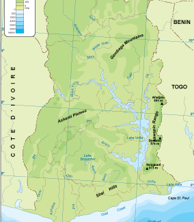
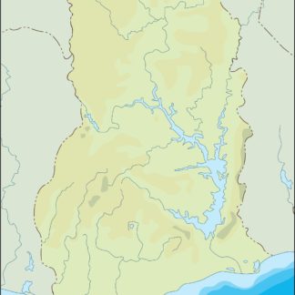
Ghana physical eps map vector
50.00 € Select options -
Ghana transportation eps map vector
55.00 € Select options -
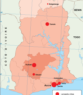
Ghana population eps map vector
60.00 € Select options -
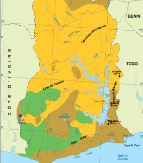
Ghana vegetation eps map vector
70.00 € Select options -
Ghana EPS map vector
80.00 € Select options -
Ghana economic eps map vector
75.00 € Select options -
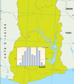
Ghana climate eps map vector
65.00 € Select options -

ghana illustrator eps map vector
29.00 € Select options -
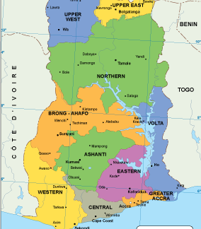
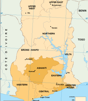
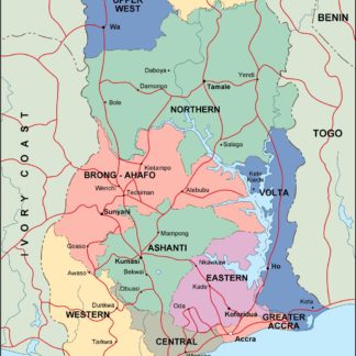
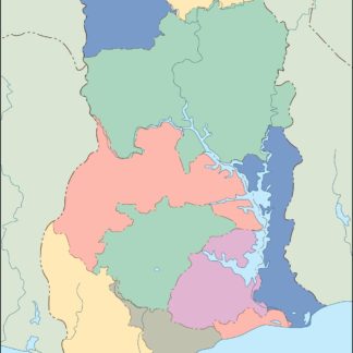
ghana political eps map vector
99.00 € Select options -
ghana blind eps map vector
35.00 € Select options -
ghana eps map vector
39.00 € Select options

Showing all 11 results