Solomon Vector EPS maps
Welcome to epsmaps.com, your go-to source for high-quality digital maps in Adobe Illustrator EPS format. Our collection includes a wide range of maps for various countries, including the Solomon Islands.
Our Solomon Vector EPS maps are designed to provide businesses with accurate and detailed information about the country’s geography, cities, and landmarks. These maps are perfect for companies that need to create marketing materials, presentations, or reports that require a visual representation of the Solomon Islands.
Our maps are created using the latest technology and are updated regularly to ensure that they are accurate and up-to-date. They are also designed to be easy to use, with clear labeling and intuitive navigation.
The Solomon Islands are located in the South Pacific Ocean, east of Papua New Guinea. The country is made up of six major islands and over 900 smaller islands. The capital city is Honiara, which is located on the island of Guadalcanal.
Other important cities in the Solomon Islands include Auki, Gizo, and Kirakira. The country is known for its beautiful beaches, coral reefs, and tropical rainforests.
Our Solomon Vector EPS maps include detailed information about the country’s geography, including its rivers, mountains, and coastlines. They also include information about major cities and landmarks, such as airports, ports, and national parks.
Whether you are a business looking to create marketing materials or a traveler planning a trip to the Solomon Islands, our collection of digital maps in Adobe Illustrator EPS format is the perfect resource for you. Browse our collection today and discover the beauty and diversity of the Solomon Islands.
Showing all 4 resultsSorted by latest
-

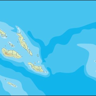
solomon illustrator eps map vector
29.00 € Select options -
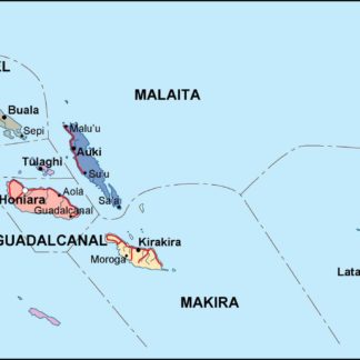
solomon political eps map vector
99.00 € Select options -
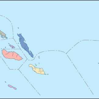
solomon blind eps map vector
35.00 € Select options -
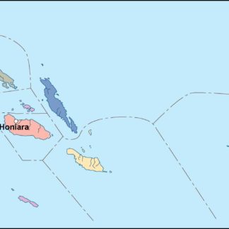
solomon eps map vector
39.00 € Select options
Showing all 4 resultsSorted by latest