Mexico Vector EPS maps
EPSmaps.com offers a wide range of digital map collections for businesses in Adobe Illustrator EPS format. Our maps are designed to provide accurate and detailed information about different countries and regions around the world. One of our most popular collections is the Mexico Vector EPS maps.
These maps are created using the latest technology and are designed to be highly accurate and detailed. They provide a comprehensive overview of Mexico, including its major cities, towns, and landmarks. Our Mexico Vector EPS maps are perfect for businesses that need to visualize their data in a clear and concise manner.
Mexico is a country located in North America, bordered by the United States to the north and Belize and Guatemala to the south. It is the third-largest country in Latin America and has a population of over 126 million people. Mexico is known for its rich history, culture, and natural beauty, making it a popular destination for tourists from around the world.
Our Mexico Vector EPS maps include detailed information about the country’s major cities, including Mexico City, Guadalajara, and Monterrey. They also feature important landmarks such as the Mayan ruins of Chichen Itza and the beaches of Cancun. With our Mexico Vector EPS maps, businesses can easily visualize their data and make informed decisions about their operations in the country.
Showing all 7 results
-

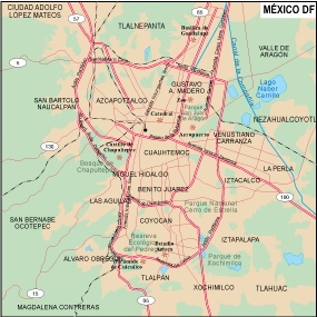
Mexico Df Illustrator eps map vector
160.00 € Select options -
mexico illustrator eps map vector
29.00 € Select options -
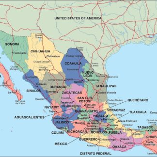
mexico political eps map vector
99.00 € Select options -
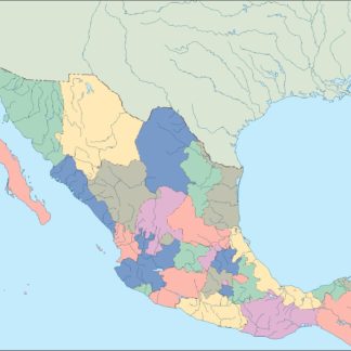
mexico blind eps map vector
35.00 € Select options -
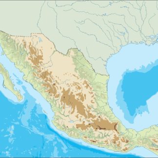
mexico eps map vector
39.00 € Select options -

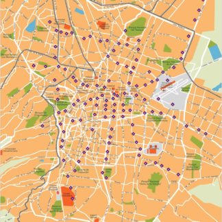
Mexico city eps map vector
65.00 € Select options -
Mexico DF eps illustrator vector map
140.00 € Select options


Showing all 7 results