Description
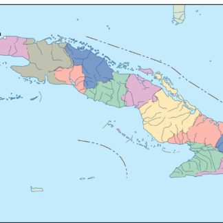
cuba vector map. Vector maps from Central America and Caribe Illustrator EPS files, fully editable from our American Country map database. All our digital cartography was created with Vector Adobe Illustrator
Vector eps City maps of the cities and countries of the world. More than 10 000 vector files
39.00 €
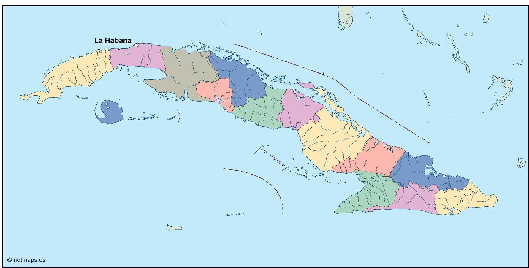
Cuba is a beautiful island country located in the Caribbean Sea. It is the largest island in the Caribbean and is situated just south of the United States and east of Mexico. The country is known for its stunning beaches, vibrant culture, and rich history. The capital of Cuba is Havana, which is located on the northwestern coast of the island.
The Cuba EPS map vector is a detailed representation of the country’s geography, including its major cities, rivers, and mountain ranges. The map is designed to be used in a variety of applications, including tourism, education, and business.
The map features a high level of detail, with each city and town clearly labeled and color-coded for easy identification. The capital city of Havana is prominently displayed in the center of the map, with other major cities such as Santiago de Cuba, Camaguey, and Holguin also clearly marked.
In addition to its cities, the Cuba EPS map vector also highlights the country’s natural features. The Sierra Maestra mountain range, which runs along the southeastern coast of the island, is clearly visible on the map. The map also shows the country’s major rivers, including the Cauto, Yumuri, and Toa.
One of the most striking features of the Cuba EPS map vector is its use of color. The map is designed with a bright, vibrant color scheme that reflects the country’s lively culture and natural beauty. The ocean surrounding the island is a deep blue, while the land is colored in shades of green, brown, and yellow.
The Cuba EPS map vector is designed to be used in a variety of applications, including print and digital media. The vector format allows the map to be scaled to any size without losing resolution, making it ideal for use in large-scale projects such as billboards and posters.
Overall, the Cuba EPS map vector is a beautiful and detailed representation of this stunning island country. Its high level of detail and vibrant color scheme make it an ideal tool for anyone looking to explore or promote the beauty and culture of Cuba.
cuba vector map. Vector maps from Central America and Caribe Illustrator EPS files, fully editable from our American Country map database. All our digital cartography was created with Vector Adobe Illustrator