Description
jamaica vector map. Vector maps from Central America and Caribe Illustrator EPS files, fully editable from our American Country map database. All our digital cartography was created with Vector Adobe Illustrator
Vector eps City maps of the cities and countries of the world. More than 10 000 vector files
39.00 €
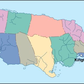
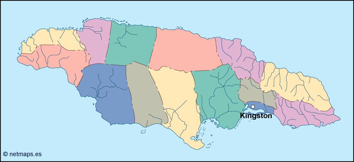
Jamaica is a beautiful island country located in the Caribbean Sea. It is the third-largest island in the Caribbean and is situated south of Cuba and west of Haiti. The country is known for its stunning beaches, vibrant culture, and delicious cuisine. The capital of Jamaica is Kingston, which is located on the southeastern coast of the island.
The Jamaica EPS map vector is a detailed representation of the country’s geography, including its major cities, towns, and landmarks. The map is designed in a vector format, which means that it can be scaled to any size without losing its quality. This makes it an ideal tool for use in a variety of applications, including print and digital media.
The map features a range of topographical features, including mountains, rivers, and valleys. The Blue Mountains, which are located in the eastern part of the island, are the highest mountains in Jamaica, with the highest peak reaching over 7,400 feet. The map also shows the location of the island’s major rivers, including the Black River, which is the longest river in Jamaica.
In addition to its natural features, the Jamaica EPS map vector also highlights the country’s major cities and towns. Kingston, the capital, is located on the southeastern coast of the island and is the largest city in Jamaica. Other major cities include Montego Bay, Ocho Rios, and Negril, all of which are popular tourist destinations.
The map also includes a range of landmarks and attractions, including historical sites, museums, and natural wonders. One of the most famous landmarks in Jamaica is Dunn’s River Falls, a stunning waterfall located near Ocho Rios. The map also shows the location of the Bob Marley Museum, which is dedicated to the life and music of the legendary reggae musician.
Overall, the Jamaica EPS map vector is an essential tool for anyone looking to explore this beautiful island country. Its detailed representation of the country’s geography, cities, and landmarks make it an ideal resource for use in a variety of applications, from tourism and travel to education and research. Whether you’re planning a trip to Jamaica or simply want to learn more about this fascinating country, the Jamaica EPS map vector is an invaluable resource.
jamaica vector map. Vector maps from Central America and Caribe Illustrator EPS files, fully editable from our American Country map database. All our digital cartography was created with Vector Adobe Illustrator