Canada eps city maps
Digital map collections in Adobe Illustrator EPS format are a valuable resource for web designers and cartographers. These collections typically include a variety of maps for different regions and countries, each with its own unique features and details.
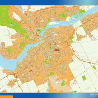
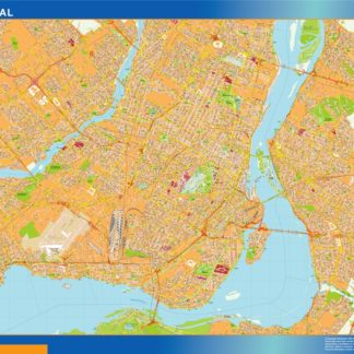
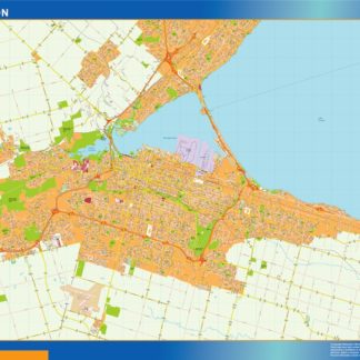
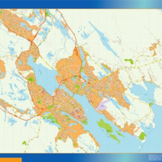
For example, the Canada EPS city maps collection would include detailed maps of major Canadian cities such as Toronto, Vancouver, and Montreal. These maps would show the location of important landmarks, streets, and neighborhoods, as well as other relevant information such as public transportation routes and parks.
In addition to city maps, the Canada EPS collection might also include maps of the country as a whole, showing its borders, major cities, and natural features such as lakes and mountains. These maps would be useful for a variety of purposes, from educational materials to travel guides and marketing materials.
Overall, digital map collections in Adobe Illustrator EPS format are an essential tool for anyone working with maps and geographic data. They provide a wealth of information and detail, making it easy to create accurate and informative maps for a wide range of applications.
Showing all 13 resultsSorted by latest
-

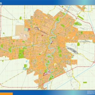
winnipeg eps map vector
995.00 € Select options -
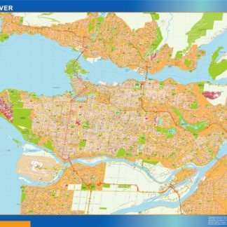
vancouver eps map vector
995.00 € Select options -
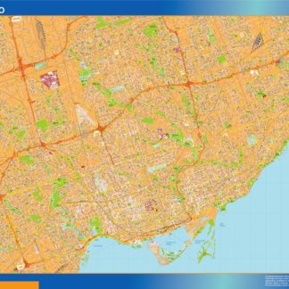
toronto eps map vector
995.00 € Select options -
quebec eps map vector
995.00 € Select options -
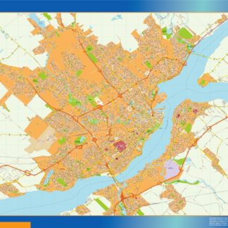
ottawa eps map vector
995.00 € Select options -
montreal eps map vector
995.00 € Select options -
mississauga eps map vector
995.00 € Select options -
hamilton eps map vector
995.00 € Select options -
halifax eps map vector
995.00 € Select options -
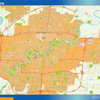
edmonton eps map vector
995.00 € Select options -
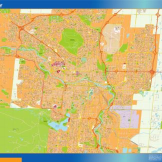
calgary eps map vector
995.00 € Select options -

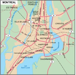
Montreal city eps map vector
65.00 € Select options -
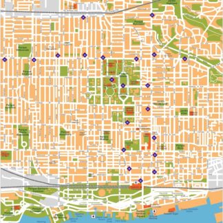
Toronto eps illustrator vector map
140.00 € Select options

Showing all 13 resultsSorted by latest