USA eps country maps
Digital map collections in Adobe Illustrator EPS format are a valuable resource for web designers and cartographers. These collections typically include a range of maps for different countries, regions, and cities, all of which are created using vector graphics software.
One popular collection is the USA EPS country maps, which includes detailed maps of all 50 states, as well as major cities and regions. These maps are designed to be highly accurate and up-to-date, with information on roads, highways, landmarks, and other important features.
For example, the map of California might include details on major cities like Los Angeles, San Francisco, and San Diego, as well as important landmarks like Yosemite National Park and Lake Tahoe. The map of New York might include details on the five boroughs of New York City, as well as other important cities like Buffalo and Albany.
In addition to providing detailed information on specific locations, these maps can also be used to show broader trends and patterns. For example, a map of the United States might be used to show population density, or to highlight areas that are particularly vulnerable to natural disasters like hurricanes or earthquakes.
Overall, digital map collections in Adobe Illustrator EPS format are an essential tool for anyone working in web design, cartography, or related fields. With their high level of detail and accuracy, they provide a wealth of information that can be used to create compelling and informative visualizations of the world around us.
Showing all 4 resultsSorted by latest
-

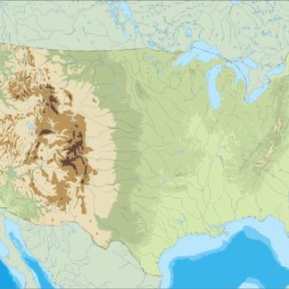
usa illustrator eps map vector
29.00 € Select options -
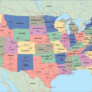
usa political eps map vector
99.00 € Select options -
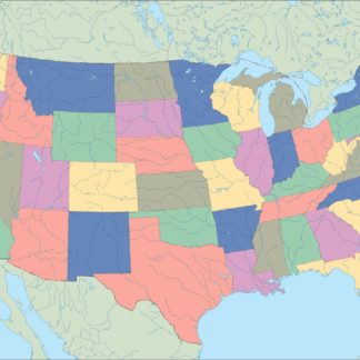
usa blind eps map vector
35.00 € Select options -
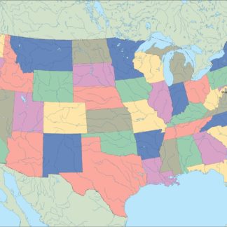
usa eps map vector
39.00 € Select options
Showing all 4 resultsSorted by latest