Australia eps city maps
Digital map collections in Adobe Illustrator EPS format are a valuable resource for web designers and cartographers alike. These collections typically include a range of maps for different countries, regions, and cities, each of which can be customized and edited to suit specific needs.
For example, the Australia EPS city maps collection might include detailed maps of major cities such as Sydney, Melbourne, Brisbane, and Perth, as well as regional maps for areas such as the Gold Coast, Sunshine Coast, and Great Barrier Reef. These maps would typically feature a range of information, including major roads, landmarks, parks, and other points of interest.
In addition to providing detailed information about the geography and layout of each area, these maps can also be used to highlight important cultural and historical landmarks, such as museums, galleries, and monuments. This can be particularly useful for tourism and travel websites, as well as for educational resources and research projects.
Overall, digital map collections in Adobe Illustrator EPS format offer a powerful tool for visualizing and exploring the world around us, and can be a valuable resource for anyone looking to create engaging and informative web content.
Showing 1–16 of 28 results
-

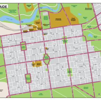
Adelaide EPS map vector
135.00 € Select options -
Port Douglas EPS map vector
135.00 € Select options -
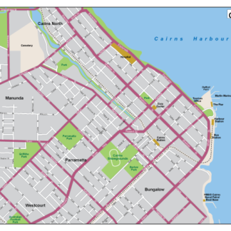
Cairns EPS map vector
135.00 € Select options -
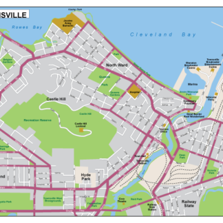
Townsville EPS map vector
135.00 € Select options -
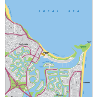
Mooloolaba EPS map vector
135.00 € Select options -
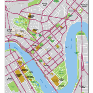
Brisbane EPS map vector
135.00 € Select options -
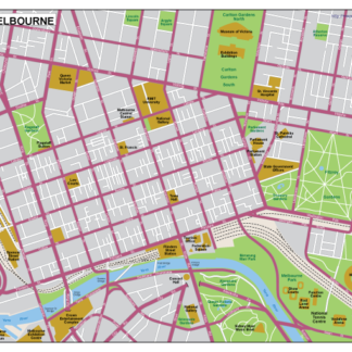
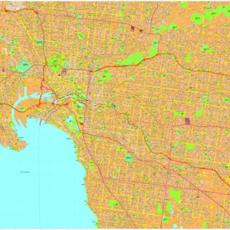
Melbourne EPS map vector
135.00 € Select options -
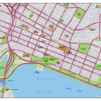
Perth EPS map vector
135.00 € Select options -
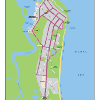
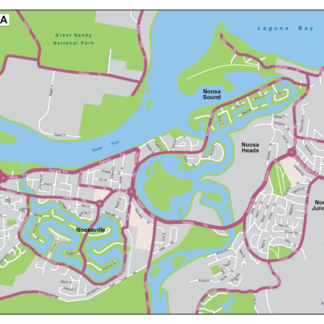
Noosa EPS map vector
135.00 € Select options -
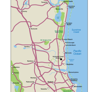
Sunshine EPS map vector
135.00 € Select options -
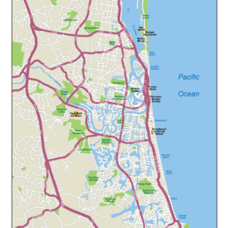
Gold Coast EPS map vector
135.00 € Select options -
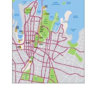
Sydney EPS map vector
135.00 € Select options -
Melbourne eps map vectors
895.00 € Select options -
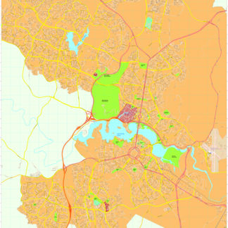
Canberra eps map vectors
895.00 € Select options -
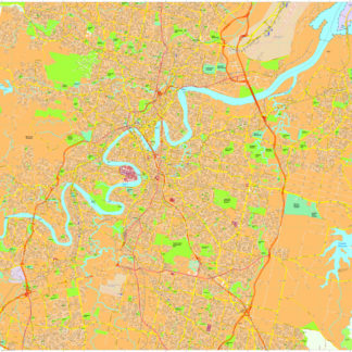
Brisbane eps map vectors
895.00 € Select options -
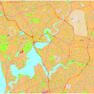
Perth eps map vectors
895.00 € Select options
Showing 1–16 of 28 results