Brazil eps city maps
Digital map collections in Adobe Illustrator EPS format are a valuable resource for web designers and cartographers alike. These collections typically include a variety of maps for different regions and countries, each of which can be customized and edited to suit specific needs.
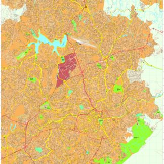
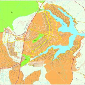
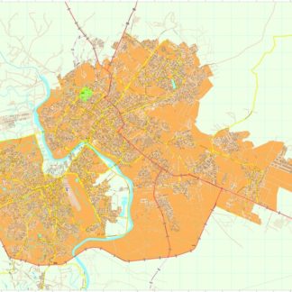
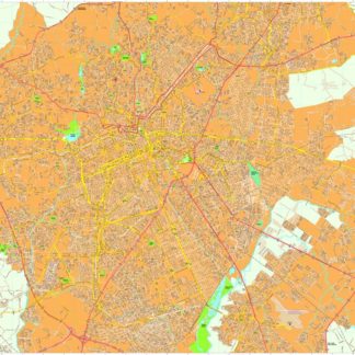
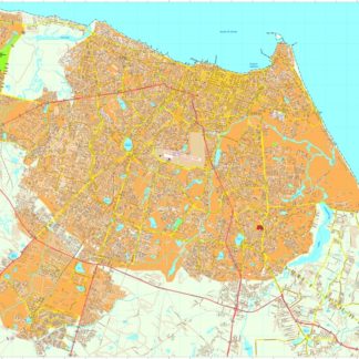
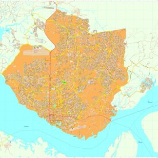
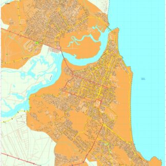
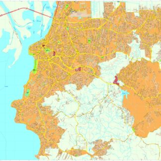
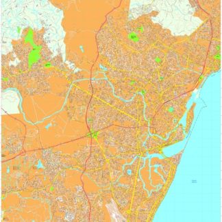
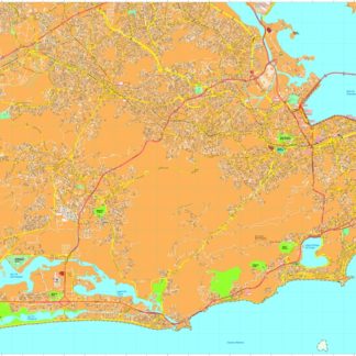
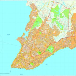
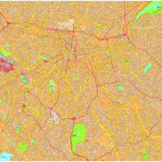
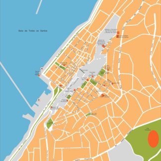
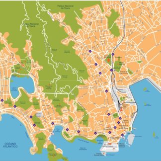
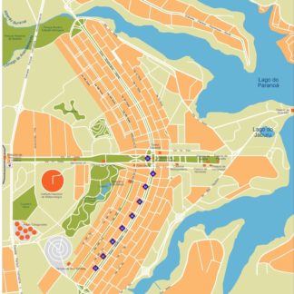
For example, a collection of Brazil EPS city maps might include detailed maps of major cities like Rio de Janeiro, Sao Paulo, and Brasilia, as well as maps of smaller towns and rural areas. These maps would typically include a range of features, such as roads, landmarks, and points of interest, as well as information on the location and boundaries of different regions within the country.
In addition to providing detailed information on the geography and topography of a given area, digital map collections can also be used to highlight important cultural and historical landmarks, such as museums, monuments, and other points of interest. This can be particularly useful for web designers and marketers looking to create engaging and informative content for their audiences.
Overall, digital map collections in Adobe Illustrator EPS format are a powerful tool for anyone looking to create high-quality, customizable maps for a wide range of applications. Whether you’re a cartographer, web designer, or marketer, these collections can help you create engaging and informative content that resonates with your audience and helps you achieve your goals.
Showing all 16 resultsSorted by latest
-

Belo Horizonte eps map vector
895.00 € Select options -
Brasilia eps map vector
895.00 € Select options -
Cuiaba eps map vector
695.00 € Select options -
Curitiba eps map vector
695.00 € Select options -
Fortaleza eps map vector
895.00 € Select options -
Manaus eps map vector
795.00 € Select options -
Natal eps map vector
795.00 € Select options -
Porto Alegre eps map vector
895.00 € Select options -
Recife eps map vector
795.00 € Select options -
Rio de janeiro eps map vector
895.00 € Select options -
Salvador Bahia eps map vector
895.00 € Select options -
Sao Paulo eps map vector
895.00 € Select options -
Sao Paulo eps illustrator vector map
140.00 € Select options -
Salvador Bahia eps illustrator vector map
140.00 € Select options -
Rio de Janeiro eps illustrator vector map
140.00 € Select options -
Brasilia eps illustrator vector map
140.00 € Select options

Showing all 16 resultsSorted by latest