Brazil eps country maps
Our collection of digital maps in Adobe Illustrator EPS format includes maps of various countries, including Brazil. These maps are designed to be highly detailed and accurate, providing users with a comprehensive view of the country’s geography, cities, and landmarks.
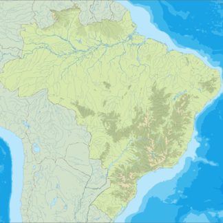
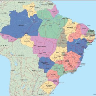
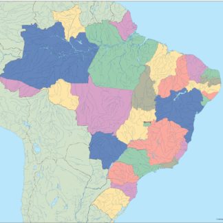
The Brazil EPS country maps feature a range of information, including the location of major cities such as Rio de Janeiro, Sao Paulo, and Brasilia. These maps also highlight important landmarks and natural features, such as the Amazon rainforest, the Brazilian Highlands, and the Atlantic coastline.
Our Brazil EPS country maps are ideal for a range of applications, including educational materials, travel guides, and business presentations. They are fully customizable, allowing users to add their own information and graphics to the maps as needed.
Whether you are planning a trip to Brazil, studying the country’s geography, or creating marketing materials for your business, our collection of digital maps in Adobe Illustrator EPS format is an invaluable resource. With detailed information and customizable features, these maps are the perfect tool for exploring and understanding Brazil.
Showing all 4 resultsSorted by latest
-

brazil illustrator eps map vector
29.00 € Select options -
brazil political eps map vector
99.00 € Select options -
brazil blind eps map vector
35.00 € Select options -
brazil eps map vector
39.00 € Select options

Showing all 4 resultsSorted by latest