Description
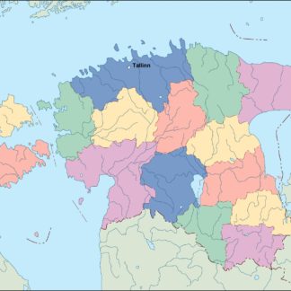
estonia vector map. Vector maps from Europe. Illustrator EPS files, fully editable from our european Country map database. All our digital cartography was created with Vector Adobe Illustrator
Vector eps City maps of the cities and countries of the world. More than 10 000 vector files
39.00 €
illustrator for sale
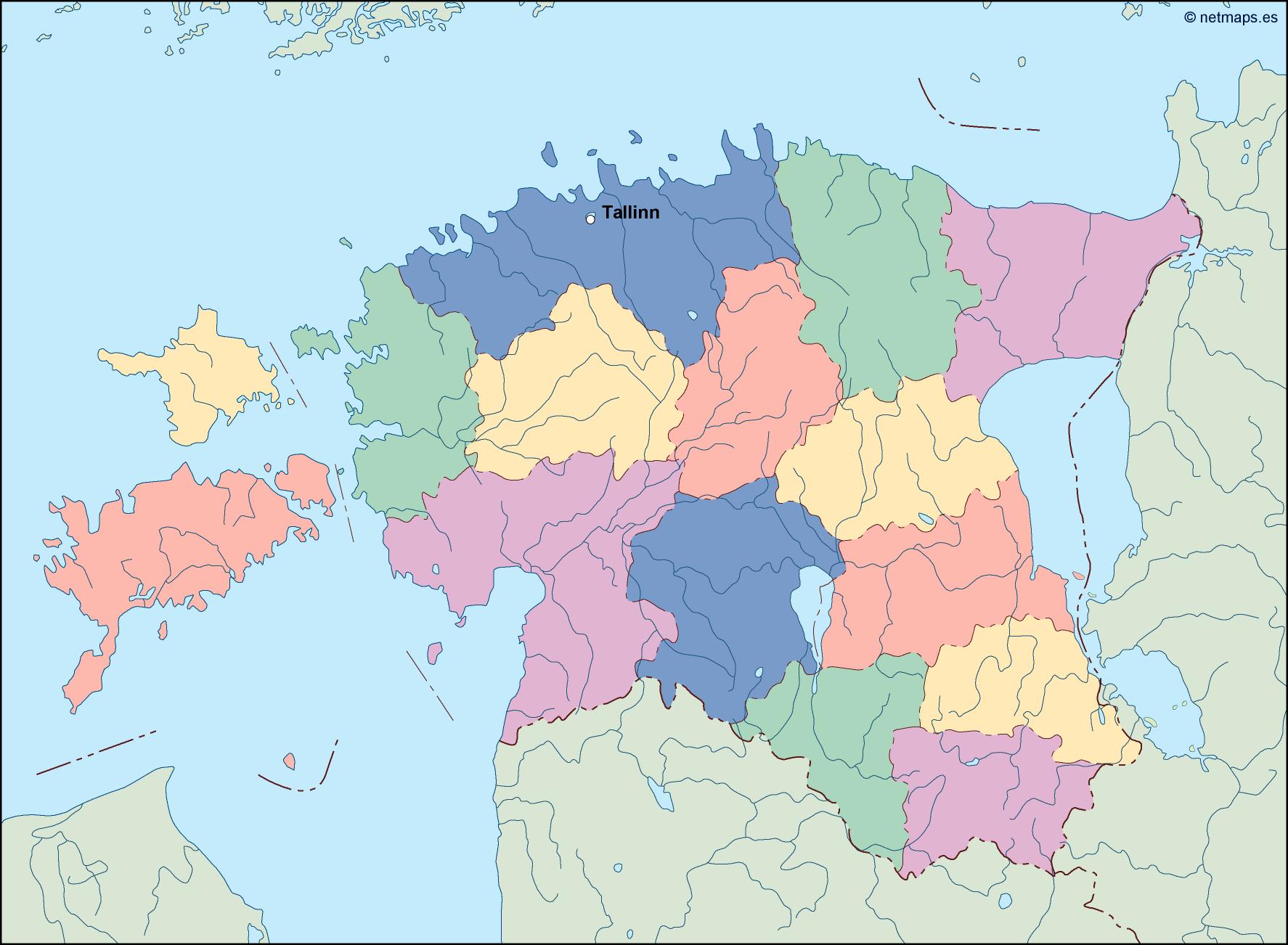
Estonia is a small country located in Northern Europe, bordered by the Baltic Sea to the west and the Gulf of Finland to the north. The country is situated in the eastern part of the Baltic region and is the northernmost of the three Baltic states. The capital of Estonia is Tallinn, which is located on the northern coast of the country.
The Estonia EPS map vector illustrator for sale is a detailed and accurate representation of the country’s geography, including its cities, towns, and major landmarks. The map is designed to be used by businesses, organizations, and individuals who need a high-quality map of Estonia for their projects.
The map is created using vector graphics, which means that it can be scaled to any size without losing its quality. This makes it ideal for use in print materials such as brochures, posters, and flyers, as well as digital media such as websites and mobile apps.
The Estonia EPS map vector illustrator for sale includes all of the major cities and towns in the country, including Tallinn, Tartu, Narva, Parnu, and Viljandi. Each city and town is labeled with its name, making it easy to identify and locate on the map.
In addition to the cities and towns, the map also includes major landmarks such as national parks, lakes, rivers, and mountains. These landmarks are labeled with their names and are represented with detailed graphics, making them easy to recognize and locate on the map.
The map also includes a detailed legend that explains the different symbols and colors used on the map. This makes it easy to understand the different features of the map and how to use it effectively.
One of the key features of the Estonia EPS map vector illustrator for sale is its accuracy. The map is created using the latest geographic data and is regularly updated to ensure that it reflects the most current information about the country’s geography.
Overall, the Estonia EPS map vector illustrator for sale is an essential tool for anyone who needs a high-quality map of Estonia for their projects. Its accuracy, detail, and flexibility make it an ideal choice for businesses, organizations, and individuals who need a reliable and easy-to-use map of this beautiful country.
estonia vector map. Vector maps from Europe. Illustrator EPS files, fully editable from our european Country map database. All our digital cartography was created with Vector Adobe Illustrator
 Tirane eps map vector
795.00 €
Tirane eps map vector
795.00 €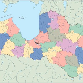 latvia eps map vector
39.00 €
latvia eps map vector
39.00 €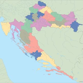 croatia blind eps map vector
35.00 €
croatia blind eps map vector
35.00 €