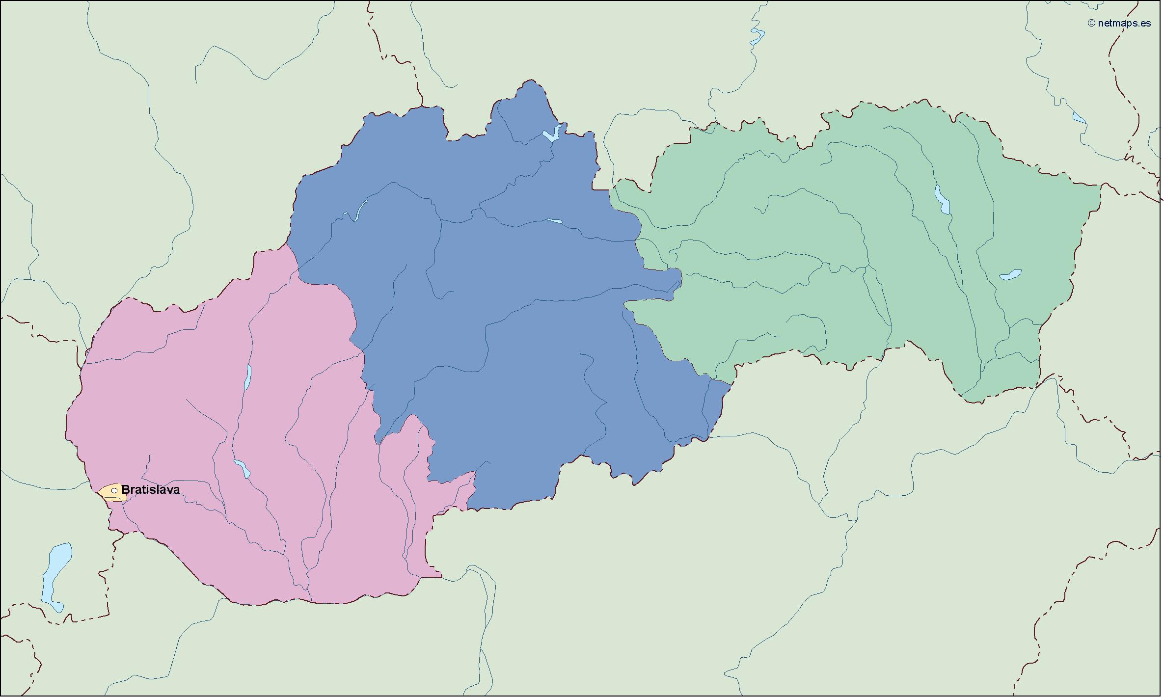
Description
slovakia vector map. Vector maps from Europe. Illustrator EPS files, fully editable from our european Country map database. All our digital cartography was created with Vector Adobe Illustrator
Vector eps City maps of the cities and countries of the world. More than 10 000 vector files
39.00 €
Slovakia is a landlocked country located in Central Europe. Its capital and largest city is Bratislava, which is situated in the southwestern part of the country. Slovakia is bordered by Poland to the north, Ukraine to the east, Hungary to the south, Austria to the southwest, and the Czech Republic to the northwest.
The country covers an area of 49,035 square kilometers and has a population of approximately 5.5 million people. Slovakia is known for its beautiful natural landscapes, including the Tatra Mountains, which are part of the Carpathian mountain range, and the Danube River, which flows through the capital city of Bratislava.
The Slovakia EPS map vector is a detailed representation of the country’s geography, including its major cities, towns, and landmarks. The map is designed in a vector format, which means that it can be scaled up or down without losing its quality. This makes it an ideal tool for use in a variety of applications, including print and digital media.
The map features a range of colors and shading to help distinguish between different regions and topographical features. The Tatra Mountains are depicted in shades of green and brown, while the lowlands and plains are shown in lighter shades of green and yellow. The Danube River is highlighted in blue, and major cities and towns are marked with red dots.
In addition to its geographical features, the Slovakia EPS map vector also includes a range of useful information for travelers and tourists. This includes the location of airports, train stations, and major highways, as well as the country’s national parks and other points of interest.
Overall, the Slovakia EPS map vector is an essential tool for anyone looking to explore this beautiful and fascinating country. Whether you are planning a trip to Bratislava or the Tatra Mountains, or simply want to learn more about Slovakia’s geography and culture, this map is an invaluable resource that will help you navigate your way around the country with ease.
slovakia vector map. Vector maps from Europe. Illustrator EPS files, fully editable from our european Country map database. All our digital cartography was created with Vector Adobe Illustrator