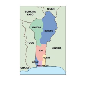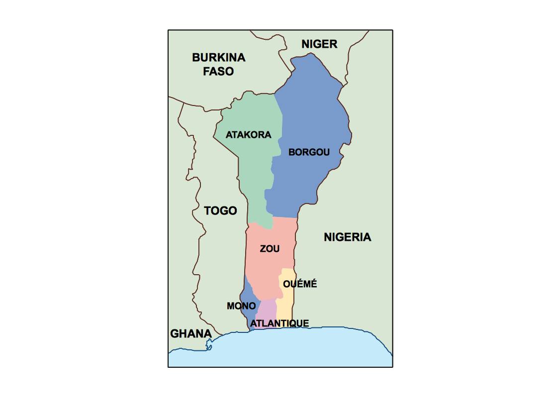
Description
benin powerpoint for presentations: EPS vector map for Illustrator and professional design workflows
The benin powerpoint for presentations is a Illustrator-based design resource built specifically for Adobe Illustrator (EPS). It is designed for real-world production environments where flexibility, precision and consistency are essential. Unlike static images, this map functions as a fully editable working file, allowing designers to control every visual element.
Each component of the map can be modified independently. Colours, labels, layers and geographic structures can be adapted to match the visual identity of any project. This makes the map ideal for integrated into editorial workflows for books and magazines, where consistency and clarity are critical.
The structure of the benin powerpoint for presentations is organised to support efficient workflows. Layers are clearly arranged, allowing designers to isolate elements, simplify layouts or highlight specific regions without disrupting the overall composition.
EPS format, Illustrator editing and scalability
The map is delivered primarily as an EPS file compatible with Adobe Illustrator. This ensures full access to editable vector layers. Additional formats include PDF and JPG, providing flexibility for different use cases.
Vector scalability allows the map to be resized to any dimension without loss of quality. This is essential for projects that require the same asset across multiple formats, from digital screens to large-scale print.
The EPS format is widely used in professional design workflows because it preserves precision and supports complex editing. This makes the map a reliable tool for long-term use.
Applications, rights and digital delivery
The benin powerpoint for presentations is used in books, reports, presentations, websites and marketing materials. It enables teams to communicate geographic information clearly and professionally.
The map includes commercial usage rights, allowing it to be used in client projects, publications and digital media without restrictions. This ensures long-term usability and makes it a valuable asset.
This map is part of the Netmaps vector database, a structured collection developed across international markets. Netmaps is a registered brand in 27 countries, ensuring consistent quality and professional standards.
After purchase, the files are delivered digitally. A download link is sent via email using WeTransfer, providing immediate access. This allows users to start working without delay.
Over time, the benin powerpoint for presentations becomes a reusable resource that can be adapted across multiple projects. Its editable structure, combined with professional-grade data, makes it a core tool for designers working with geographic content.
By combining EPS flexibility, Illustrator compatibility and structured cartographic data, the benin powerpoint for presentations delivers a complete solution for high-level design and publishing workflows.