America PPT Maps
Our collection of digital maps in Adobe Illustrator EPS format includes a wide range of maps for countries across the Americas. These maps are designed to be highly detailed and accurate, providing users with a comprehensive view of each country’s geography, cities, and important landmarks.
Each map in our collection is created using the latest GIS data, ensuring that it is up-to-date and accurate. This means that users can rely on our maps for a variety of purposes, from educational and research projects to business and marketing applications.
Our maps include a range of features, such as major cities, rivers, lakes, mountains, and other important landmarks. We also provide detailed information about each country’s political boundaries, including state and province borders.
For users who need to focus on specific regions or cities, we offer a range of zoom levels and detailed views. This allows users to explore each country in detail, from the largest cities to the smallest towns and villages.
Whether you are a student, researcher, or business professional, our collection of digital maps in Adobe Illustrator EPS format is an essential resource for anyone who needs accurate and detailed information about the Americas. So why wait? Browse our collection today and start exploring the world!
Showing 1–16 of 39 resultsSorted by latest
-

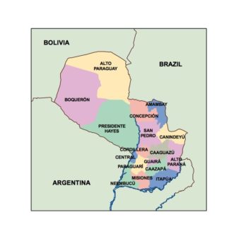
paraguay powerpoint for presentations
18.00 € Add to cart -
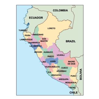
peru powerpoint for presentations
18.00 € Add to cart -
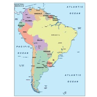
south america powerpoint for presentations
18.00 € Add to cart -
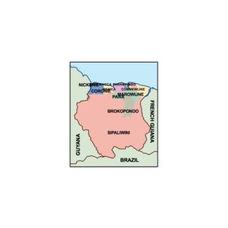
suriname powerpoint for presentations
18.00 € Add to cart -
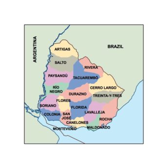
uruguay powerpoint for presentations
18.00 € Add to cart -
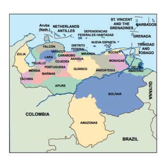
venezuela powerpoint for presentations
18.00 € Add to cart -
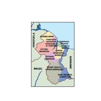
guyana powerpoint for presentations
18.00 € Add to cart -
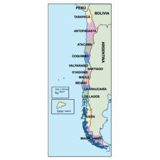
chile powerpoint for presentations
18.00 € Add to cart -
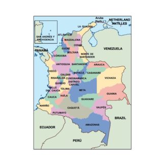
colombia powerpoint for presentations
18.00 € Add to cart -
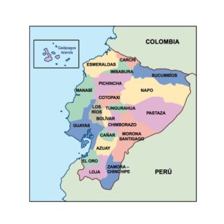
ecuador powerpoint for presentations
18.00 € Add to cart -
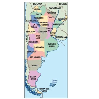
argentina powerpoint for presentations
18.00 € Add to cart -
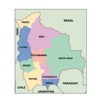
bolivia powerpoint for presentations
18.00 € Add to cart -
brazil powerpoint for presentations
18.00 € Add to cart -
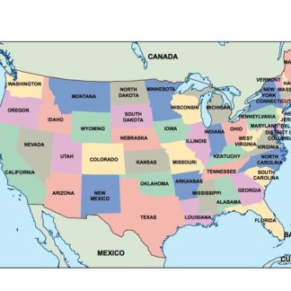
usa powerpoint for presentations
18.00 € Add to cart -
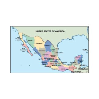
mexico powerpoint for presentations
18.00 € Add to cart -
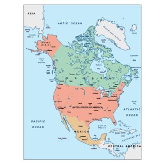
north america powerpoint for presentations
18.00 € Add to cart

Showing 1–16 of 39 resultsSorted by latest