Europe PPT Maps
Digital map collections in Adobe Illustrator EPS format are a valuable resource for web designers and developers who need to create visually appealing and accurate maps for their projects. These collections typically include maps of various countries and regions, including Europe PPT Maps, which provide detailed information about the geography, cities, and landmarks of the continent.
Each map in the collection is created using vector graphics, which means that it can be scaled up or down without losing quality. This makes it easy to customize the maps to fit the specific needs of the project, whether it’s a website, presentation, or printed material.
The Europe PPT Maps collection includes maps of all the countries in Europe, as well as maps of specific regions and cities. Each map is labeled with the names of major cities, rivers, and other landmarks, making it easy to identify different areas and navigate the map.
In addition to providing information about the geography of Europe, these maps can also be used to highlight important cultural and historical landmarks, such as museums, monuments, and historic sites. This can be especially useful for tourism websites or travel guides, as it allows visitors to get a better sense of the history and culture of the region.
Overall, digital map collections in Adobe Illustrator EPS format are an essential tool for web designers and developers who need to create accurate and visually appealing maps for their projects. The Europe PPT Maps collection is a particularly valuable resource for anyone working on projects related to the continent, as it provides detailed information about the geography, cities, and landmarks of Europe.
Showing 1–16 of 47 results
-

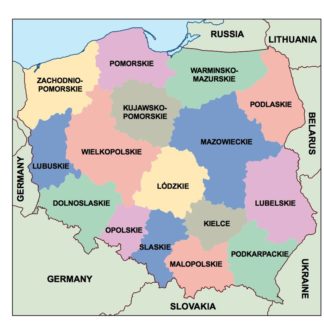
poland powerpoint for presentations
18.00 € Add to cart -
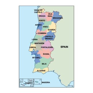
portugal powerpoint for presentations
18.00 € Add to cart -
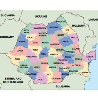
romania powerpoint for presentations
18.00 € Add to cart -
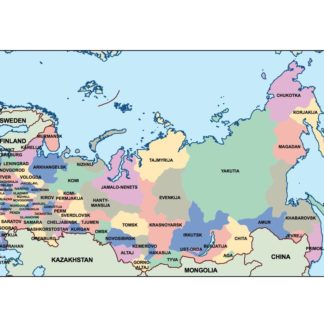
russia powerpoint for presentations
18.00 € Add to cart -
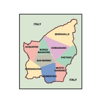
san marino powerpoint for presentations
18.00 € Add to cart -
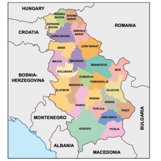
serbia powerpoint for presentations
18.00 € Add to cart -
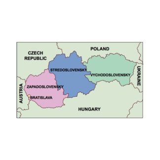
slovakia powerpoint for presentations
18.00 € Add to cart -
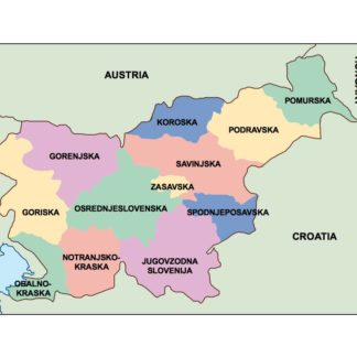
slovenia powerpoint for presentations
18.00 € Add to cart -
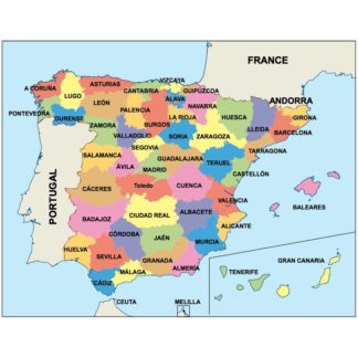
spain powerpoint for presentations
18.00 € Add to cart -
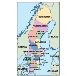
sweden powerpoint for presentations
18.00 € Add to cart -
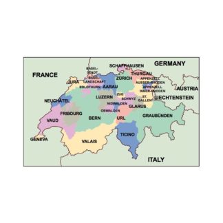
switzerland powerpoint for presentations
18.00 € Add to cart -
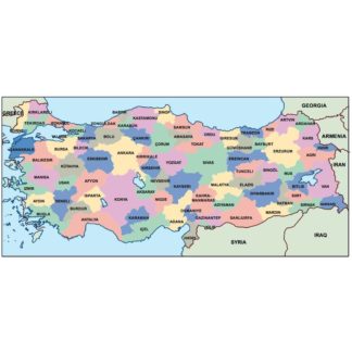
turkey powerpoint for presentations
18.00 € Add to cart -
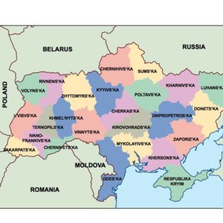
ukraine powerpoint for presentations
18.00 € Add to cart -
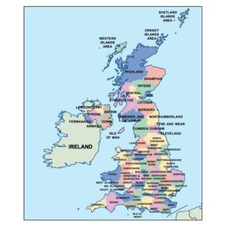
united kingdom powerpoint for presentations
18.00 € Add to cart -
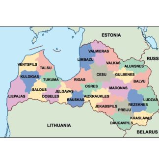
latvia powerpoint for presentations
18.00 € Add to cart -
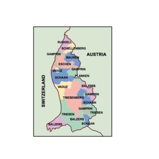
liechtenstein powerpoint for presentations
18.00 € Add to cart
Showing 1–16 of 47 results