Asia PPT Maps
Our collection of digital maps in Adobe Illustrator EPS format includes a wide range of maps for countries in Asia. These maps are designed to be used in presentations, reports, and other digital media, and are perfect for anyone who needs accurate and detailed maps of this region.
Each map in our collection includes a range of features that make it easy to use and customize. For example, our maps include detailed information about the location of major cities, as well as important landmarks and geographic features. This information is presented in a clear and easy-to-read format, making it easy to find the information you need quickly and easily.
In addition to providing detailed information about the location of cities and landmarks, our maps also include a range of other useful features. For example, our maps include information about the political boundaries of each country, as well as information about the location of major transportation routes, such as highways, railways, and airports.
Overall, our collection of digital maps in Adobe Illustrator EPS format is an essential resource for anyone who needs accurate and detailed maps of Asia. Whether you are a business professional, a student, or a researcher, our maps will provide you with the information you need to make informed decisions and communicate effectively with others. So why wait? Browse our collection today and start exploring the world of Asia!
Showing 1–16 of 48 results
-

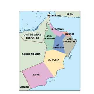
oman powerpoint for presentations
18.00 € Add to cart -
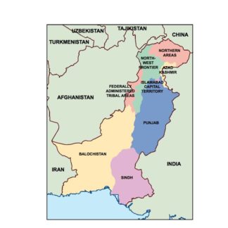
pakistan powerpoint for presentations
18.00 € Add to cart -
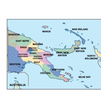
papua new guinea powerpoint for presentations
18.00 € Add to cart -
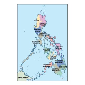
philippines powerpoint for presentations
18.00 € Add to cart -
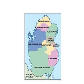
qatar powerpoint for presentations
18.00 € Add to cart -
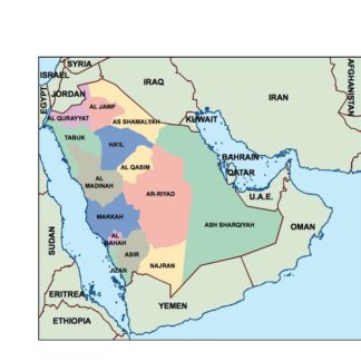
saudi arabia powerpoint for presentations
18.00 € Add to cart -
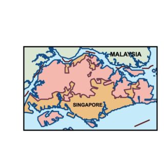
singapore powerpoint for presentations
18.00 € Add to cart -
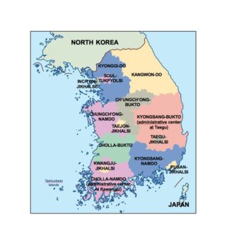
south korea powerpoint for presentations
18.00 € Add to cart -
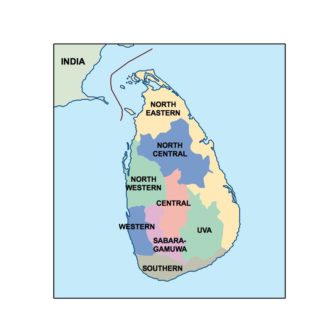
sri lanka powerpoint for presentations
18.00 € Add to cart -
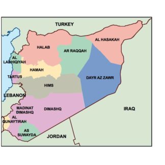
syria powerpoint for presentations
18.00 € Add to cart -
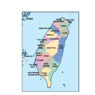
taiwan powerpoint for presentations
18.00 € Add to cart -
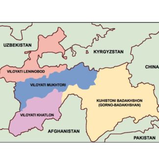
tajikistan powerpoint for presentations
18.00 € Add to cart -
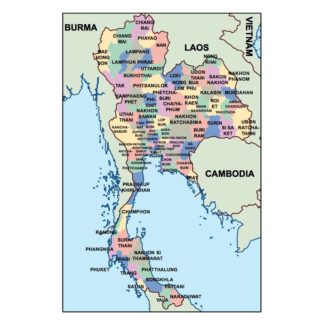
thailand powerpoint for presentations
18.00 € Add to cart -
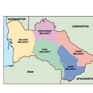
turkmenistan powerpoint for presentations
18.00 € Add to cart -
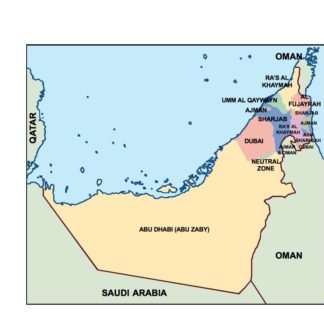
united arab emirates powerpoint for presentations
18.00 € Add to cart -
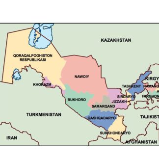
uzbekistan powerpoint for presentations
18.00 € Add to cart
Showing 1–16 of 48 results