Asia Agricultural Maps
Our collection of digital maps in Adobe Illustrator EPS format includes a variety of maps for different countries in Asia, with a focus on agricultural maps. These maps are designed to provide detailed information about the agricultural landscape of each country, including the location of major cities and important agricultural regions.
Each map is created using high-quality vector graphics, which means that they can be scaled up or down without losing any detail. This makes them ideal for use in a variety of applications, from printed materials to digital presentations.
In addition to showing the location of major cities and agricultural regions, our maps also include information about the topography of each country, as well as important landmarks and natural features. This information can be used to help farmers and other agricultural professionals make informed decisions about crop selection and land use.
Some of the countries included in our collection of digital maps include China, India, Japan, and South Korea. Each map is designed to be easy to read and understand, with clear labeling and intuitive color-coding.
Whether you’re a farmer looking to expand your operations in Asia, or a researcher studying the agricultural landscape of the region, our collection of digital maps in Adobe Illustrator EPS format is an invaluable resource. With detailed information about each country’s agricultural landscape, you’ll be able to make informed decisions and plan for the future with confidence.
Showing all 5 results
-

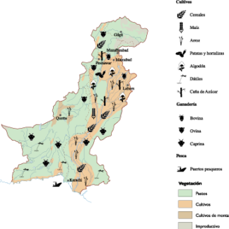
Pakistan Agricultural eps map vector
70.00 € Select options -
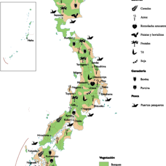
Japan Agricultural eps map vector
70.00 € Select options -
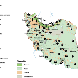
Iran Agricultural eps map vector
70.00 € Select options -
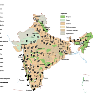
india Agricultural eps map vector
70.00 € Select options -
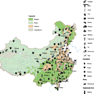
China Agricultural eps map vector
70.00 € Select options
Showing all 5 results