France eps country maps
Our collection of digital maps in Adobe Illustrator EPS format includes maps of various countries, including France. These maps are designed to be highly detailed and accurate, providing users with a comprehensive view of the country’s geography, cities, and landmarks.
The France EPS country maps feature a range of important information, including the location of major cities such as Paris, Marseille, Lyon, and Toulouse. Additionally, the maps highlight key landmarks and attractions, such as the Eiffel Tower, the Louvre Museum, and the Palace of Versailles.
Our France EPS country maps are ideal for a range of applications, including educational materials, travel guides, and business presentations. They are fully customizable, allowing users to add their own information and branding to the maps.
Overall, our collection of digital maps in Adobe Illustrator EPS format provides users with a powerful tool for exploring and understanding the geography and culture of France and other countries around the world.
Showing all 8 results
-

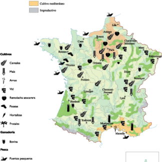
France Agricultural eps map vector
70.00 € Select options -
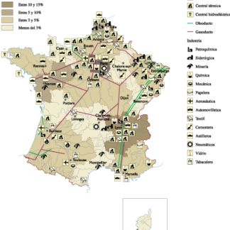
France Economic eps map vector
75.00 € Select options -

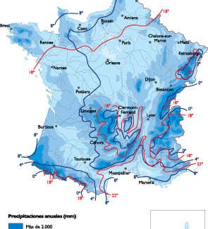
France Climate eps map vector
65.00 € Select options -

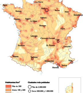
France Population eps map vector
60.00 € Select options -
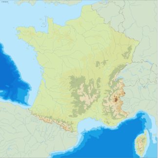
france illustrator eps map vector
29.00 € Select options -
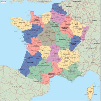
france political eps map vector
99.00 € Select options -
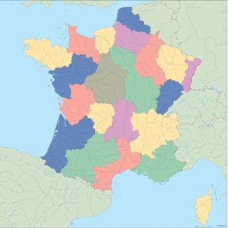
france blind eps map vector
35.00 € Select options -
france eps map vector
39.00 € Select options

Showing all 8 results