Germany eps city maps
Digital map collections in Adobe Illustrator EPS format are a valuable resource for web designers and developers who need to create high-quality maps for their projects. These collections typically include a range of maps for different countries, regions, and cities, each of which is designed to be easily editable and customizable in Adobe Illustrator.
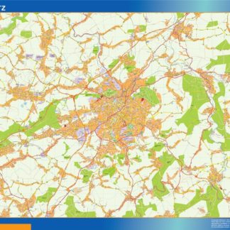
For example, the Germany EPS city maps collection might include detailed maps of major cities such as Berlin, Munich, and Hamburg, as well as maps of smaller towns and regions throughout the country. Each map would be designed to show important features such as roads, landmarks, and points of interest, and would be fully editable in Adobe Illustrator so that users can customize the map to suit their specific needs.
In addition to providing detailed maps of specific locations, digital map collections may also include maps that show the overall geography and topography of a country or region. These maps can be useful for providing context and helping users understand the overall layout and structure of a particular area.
Overall, digital map collections in Adobe Illustrator EPS format are an essential tool for anyone who needs to create high-quality maps for their web projects. With their detailed and customizable designs, these maps can help users create engaging and informative visual content that enhances the user experience and provides valuable information to visitors.
Showing 1–16 of 70 results
-

Berlin Vector EPS map vector
280.00 € Select options -
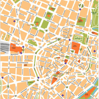
Munchen Illustrator eps map vector
160.00 € Select options -
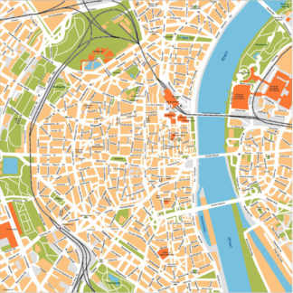
Koln Illustrator eps map vector
160.00 € Select options -
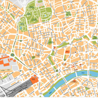
Frankfurt Illustrator eps map vector
160.00 € Select options -
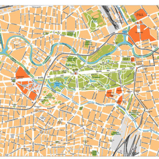
Dusseldorf Illustrator eps map vector
160.00 € Select options -
Berlin Illustrator eps map vector
160.00 € Select options -
aachen karte illustrator eps
795.00 € Select options -
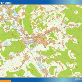
aschaffenburg karte illustrator eps
795.00 € Select options -
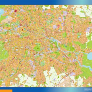
berlin karte illustrator eps
995.00 € Select options -
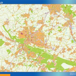
bielefeld karte illustrator eps
795.00 € Select options -
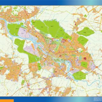
bochum karte illustrator eps
795.00 € Select options -
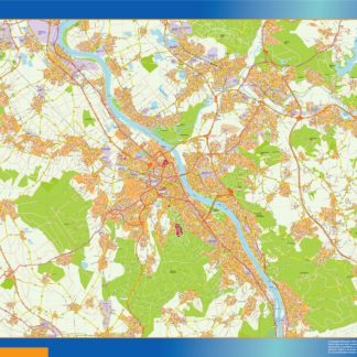
bonn karte illustrator eps
795.00 € Select options -
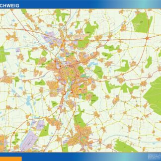
braunschweig karte illustrator eps
795.00 € Select options -
brema karte illustrator eps
795.00 € Select options -
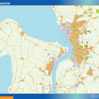
bremerhaven karte illustrator eps
795.00 € Select options -
chemnitz karte illustrator eps
795.00 € Select options


Showing 1–16 of 70 results