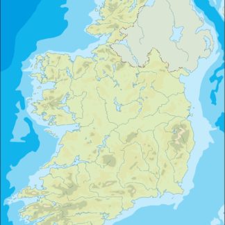
Ireland eps country maps
Our collection of digital maps in Adobe Illustrator EPS format includes maps of various countries, including Ireland. These maps are designed to be highly detailed and accurate, providing users with a comprehensive view of the country’s geography, cities, and landmarks.
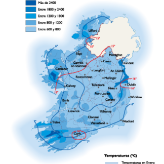
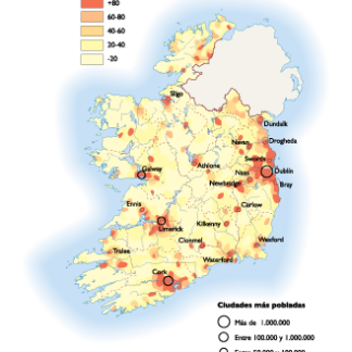
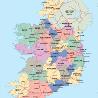
The Ireland EPS country maps feature a range of information, including the location of major cities such as Dublin, Cork, and Galway, as well as important landmarks like the Cliffs of Moher and the Ring of Kerry. The maps also highlight the country’s natural features, including its rugged coastline, rolling hills, and expansive lakes.
Our digital maps are designed to be highly customizable, allowing users to easily edit and manipulate the maps to suit their specific needs. Whether you’re a business looking to create marketing materials or a traveler planning a trip to Ireland, our digital maps provide a valuable resource for exploring and understanding the country’s geography and culture.
Overall, our collection of digital maps in Adobe Illustrator EPS format provides a valuable resource for anyone looking to explore and understand the world around them. With detailed maps of countries like Ireland, users can gain a deeper appreciation for the unique features and landmarks that make each place special.
Showing 1–16 of 20 results
-

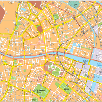
Dublin Vector EPS map vector
280.00 € Select options -
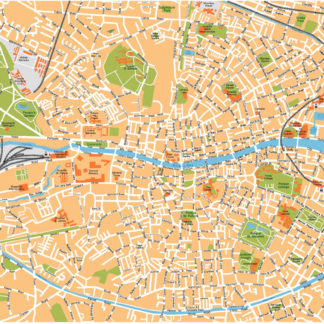
Dublin Illustrator eps map vector
160.00 € Select options -
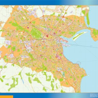
Dublin vector map
845.00 € Select options -
Ireland Agricultural eps map vector
70.00 € Select options -
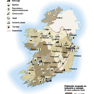
Ireland Economic eps map vector
75.00 € Select options -
Ireland Climate eps map vector
65.00 € Select options -
Ireland Population eps map vector
60.00 € Select options -
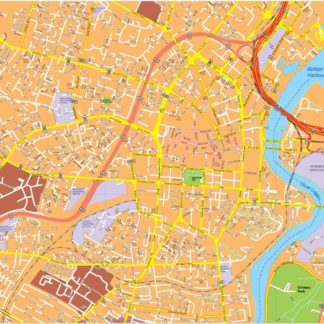
Belfast eps map vector
495.00 € Select options -
Galway eps map vector
495.00 € Select options -
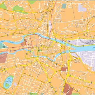
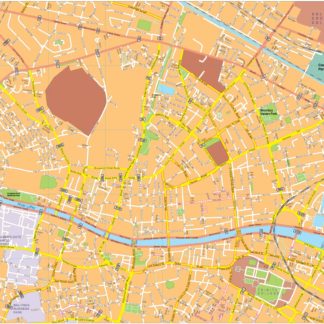
Cork eps map vector
495.00 € Select options -
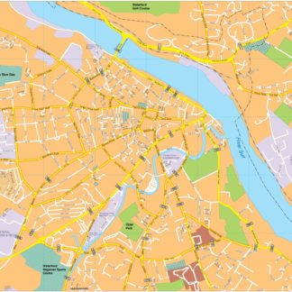
Waterford eps map vector
495.00 € Select options -
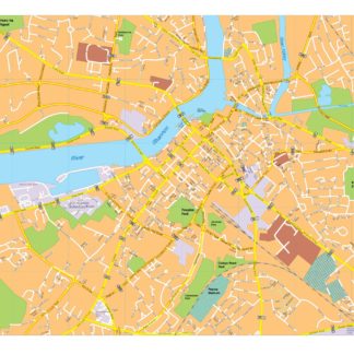
Limerick eps map vector
495.00 € Select options -
Dublin vector map
490.00 € Select options -
ireland illustrator eps map vector
29.00 € Select options -
ireland political eps map vector
99.00 € Select options -
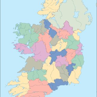
ireland blind eps map vector
35.00 € Select options


Showing 1–16 of 20 results