Poland eps city maps
Digital map collections in Adobe Illustrator EPS format are a valuable resource for web designers and cartographers. These collections typically include a range of maps for different countries, regions, and cities, all of which are created using vector graphics software.
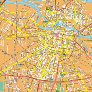
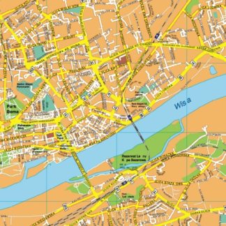
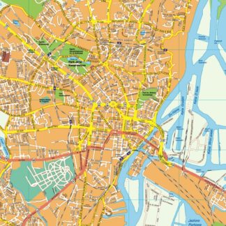
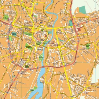
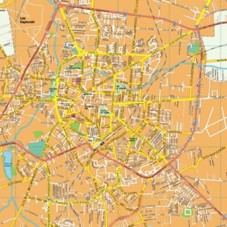
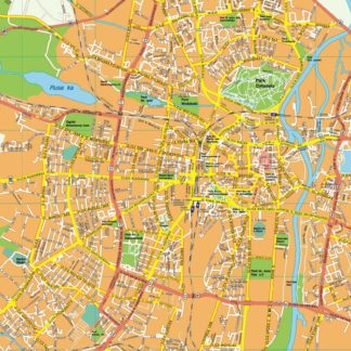
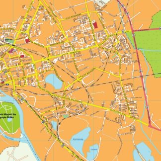
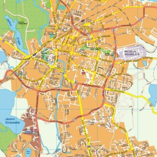
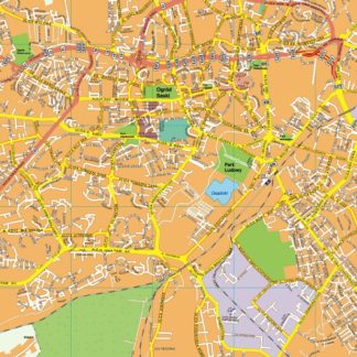
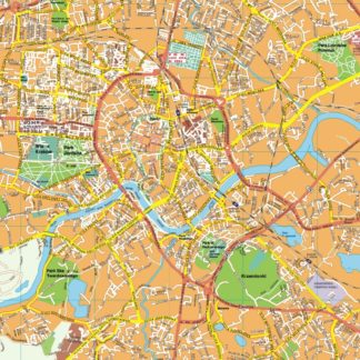
One example of a digital map collection is the Poland EPS City Maps collection, which includes detailed maps of major cities in Poland such as Warsaw, Krakow, and Gdansk. These maps are designed to be highly accurate and up-to-date, with detailed information on streets, landmarks, and other important features.
In addition to providing detailed information on cities and regions, digital map collections can also be used to create custom maps for specific purposes. For example, a web designer might use a digital map collection to create a map of a specific area for a travel website, or a cartographer might use a collection to create a map for a research project.
Overall, digital map collections in Adobe Illustrator EPS format are a valuable resource for anyone who needs accurate and detailed maps for a variety of purposes. Whether you’re a web designer, cartographer, or researcher, these collections can help you create high-quality maps that are both informative and visually appealing.
Showing 1–16 of 30 results
-

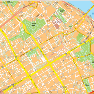
Warsaw Vector EPS map vector
280.00 € Select options -
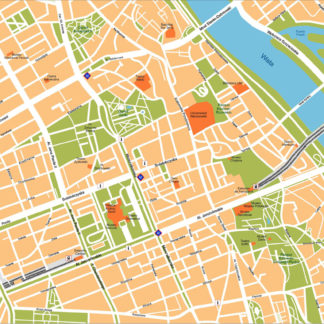
Warsaw Illustrator eps map vector
160.00 € Select options -
Zielona gora EPS map vector
395.00 € Select options -
Zabrze EPS map vector
395.00 € Select options -
Wroclaw EPS map vector
495.00 € Select options -
Warszawa EPS map vector
595.00 € Select options -
Torum EPS map vector
395.00 € Select options -
Szczecin EPS map vector
395.00 € Select options -
Sosnowiec EPS map vector
395.00 € Select options -
Rzeszow EPS map vector
395.00 € Select options -
Radom EPS map vector
395.00 € Select options -
Poznan EPS map vector
495.00 € Select options -
Opole EPS map vector
395.00 € Select options -
Olsztyn EPS map vector
395.00 € Select options -
Lublin EPS map vector
395.00 € Select options -
Krakow EPS map vector
495.00 € Select options


Showing 1–16 of 30 results