Sweden eps city maps
Digital map collections in Adobe Illustrator EPS format are a valuable resource for web designers and developers who need to create visually appealing and accurate maps for their projects. These collections typically include maps of various countries, regions, and cities, each of which is designed to be easily editable and customizable.
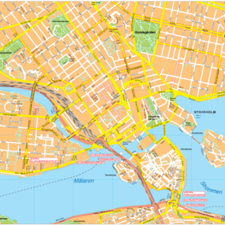
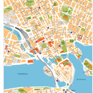
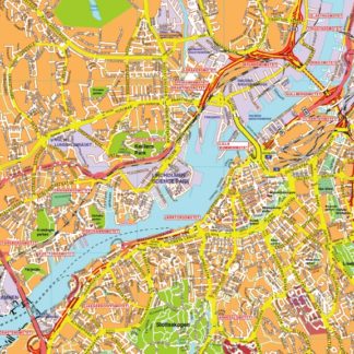
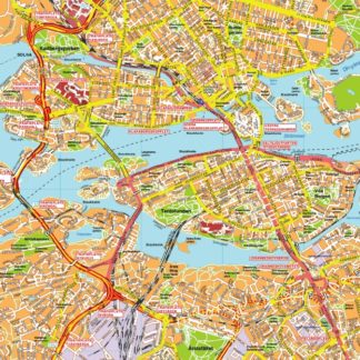
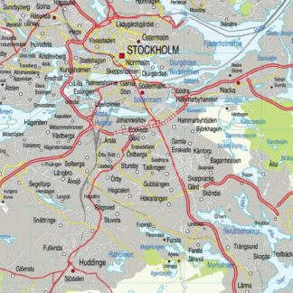
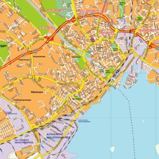
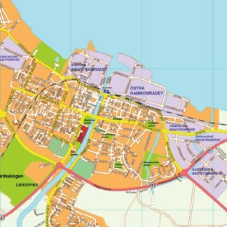
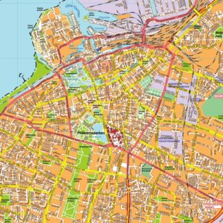
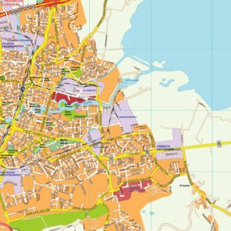
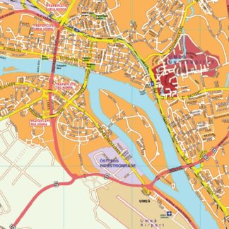
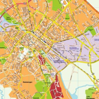
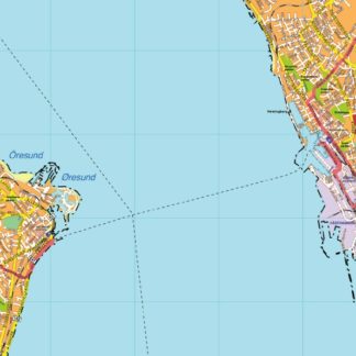
One example of such a collection is the Sweden EPS city maps, which includes detailed maps of all major cities in Sweden, such as Stockholm, Gothenburg, and Malmö. These maps are created using vector graphics, which means that they can be scaled up or down without losing any quality, making them ideal for use in a variety of applications.
In addition to showing the locations of major cities, these maps also include important landmarks, such as airports, train stations, and tourist attractions. They also show the layout of major roads and highways, as well as the locations of parks, lakes, and other natural features.
Overall, digital map collections in Adobe Illustrator EPS format are an essential tool for anyone who needs to create accurate and visually appealing maps for their web projects. Whether you’re designing a website for a travel agency, creating a mobile app for tourists, or simply need to include a map in your project, these collections provide a wealth of information and resources to help you get the job done.
Showing all 14 resultsSorted by latest
-

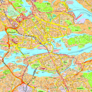
Stockholm Vector EPS map vector
280.00 € Select options -
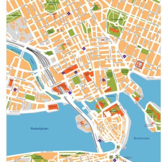
Stockholm Illustrator eps map vector
160.00 € Select options -
karta eps illustrator goteborg
895.00 € Select options -
karta eps illustrator stockholm
795.00 € Select options -
karta eps illustrator storstockholm
1,195.00 € Select options -
karta eps illustrator vasteras
895.00 € Select options -
karta eps illustrator lidkoping
895.00 € Select options -
karta eps illustrator malmo
895.00 € Select options -
karta eps illustrator orebro
795.00 € Select options -
karta eps illustrator umea
895.00 € Select options -
karta eps illustrator uppsala
895.00 € Select options -
karta eps illustrator helsinborg
895.00 € Select options -
Stockholm eps map vector
495.00 € Select options -
Stockholm eps illustrator vector map
140.00 € Select options
Showing all 14 resultsSorted by latest