Ukraine eps country maps
Our collection of digital maps in Adobe Illustrator EPS format includes maps of various countries, including Ukraine. These maps are designed to be highly detailed and accurate, providing users with a comprehensive view of the country’s geography, topography, and major cities.
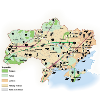
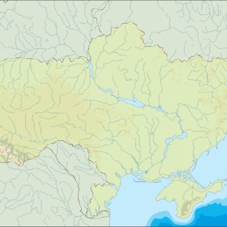
The Ukraine EPS country maps in our collection feature a range of important information, including the location of major cities such as Kiev, Lviv, and Odessa. These maps also highlight key landmarks and attractions, such as the Carpathian Mountains, the Black Sea, and the Dnieper River.
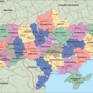
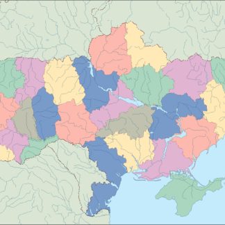
In addition to providing a detailed view of Ukraine’s physical geography, our digital maps also include important political and administrative information. This includes the location of regional capitals, as well as the boundaries of Ukraine’s oblasts (provinces) and raions (districts).
Whether you’re a student, researcher, or business professional, our collection of digital maps in Adobe Illustrator EPS format is an invaluable resource for gaining a deeper understanding of Ukraine’s geography, culture, and history. With highly detailed and accurate information, these maps are the perfect tool for exploring this fascinating country.
Showing all 6 results
-

Ukraine Economic eps map vector
75.00 € Select options -
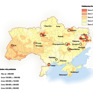
Ukraine Population eps map vector
60.00 € Select options -
ukraine illustrator eps map vector
29.00 € Select options -
ukraine political eps map vector
99.00 € Select options -
ukraine blind eps map vector
35.00 € Select options -
ukraine eps map vector
39.00 € Select options

Showing all 6 results