Description
karta stockholm. Sweden Vector Karta. EPS Illustrator maps Swedish Cities
Vector eps City maps of the cities and countries of the world. More than 10 000 vector files

795.00 €
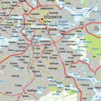
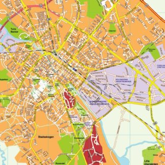
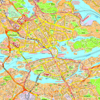
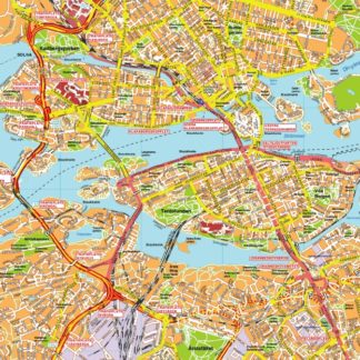
The vector EPS map of Stockholm showcases the city’s main streets and parks, highlighting its location within Sweden. The map features prominent landmarks such as the Royal Palace, Gamla Stan, and Djurgården. The city’s major thoroughfares, including Sveavägen, Kungsgatan, and Drottninggatan, are clearly marked, as are the numerous parks and green spaces that dot the cityscape. Notable parks include Humlegården, Vasaparken, and Tantolunden. The map also shows the city’s proximity to the Baltic Sea and its many islands, including Lidingö and Djurgården. Overall, the vector EPS map of Stockholm provides a comprehensive overview of the city’s layout and geography, making it an invaluable resource for visitors and locals alike.
karta stockholm. Sweden Vector Karta. EPS Illustrator maps Swedish Cities