Description
karta vasteras. Sweden Vector Karta. EPS Illustrator maps Swedish Cities
Vector eps City maps of the cities and countries of the world. More than 10 000 vector files
895.00 €
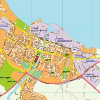
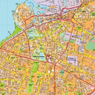
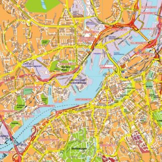
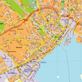
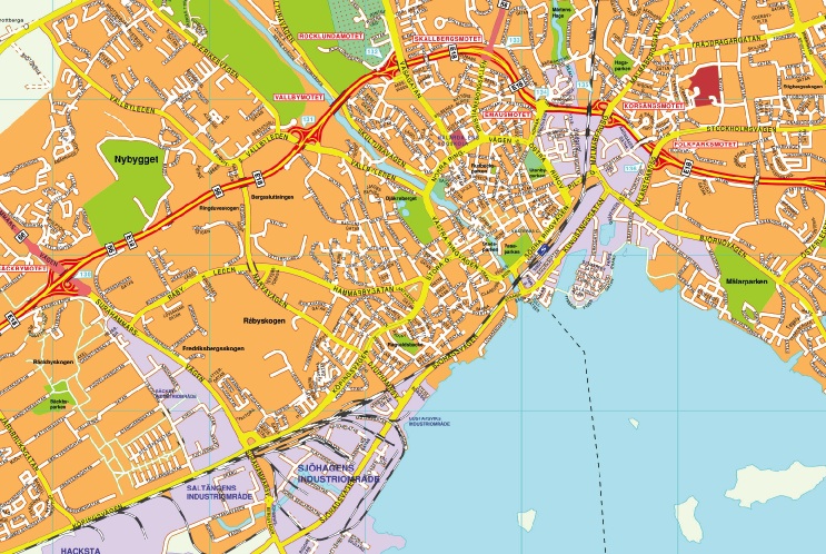
The vector EPS map of Vasteras city highlights its main streets and parks, as well as its location in Sweden. The city is situated in the central part of the country, approximately 100 kilometers west of Stockholm. The map shows the major roads that connect Vasteras to other cities, such as E18 and E16. The city center is marked by a cluster of streets, including Stora Gatan, which is lined with shops and restaurants. The map also highlights the city’s main parks, such as Vasteras City Park and Djakneberget Park, which offer green spaces for residents and visitors to enjoy. Overall, the vector EPS map of Vasteras provides a detailed and accurate representation of the city’s layout and features.
karta vasteras. Sweden Vector Karta. EPS Illustrator maps Swedish Cities