Description
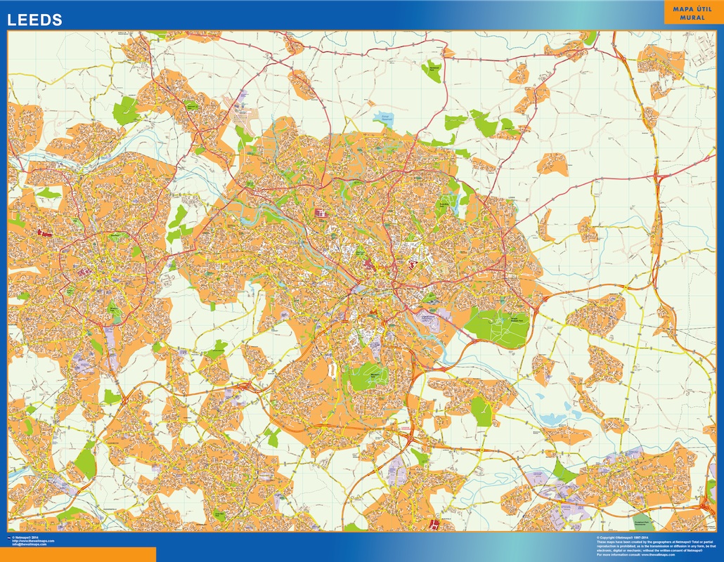
leeds vector map
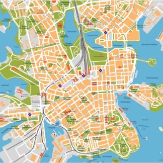
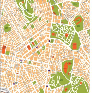
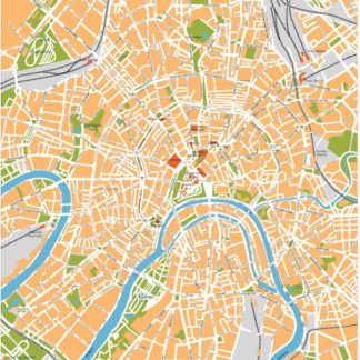
Vector eps City maps of the cities and countries of the world. More than 10 000 vector files
895.00 €
The Leeds EPS map vector is a detailed map of the city of Leeds, located in the northern region of England. The map highlights the main streets and parks of the city, making it easy to navigate and explore.
One of the most prominent features of the map is the River Aire, which runs through the city and is surrounded by several parks and green spaces. These include Roundhay Park, one of the largest urban parks in Europe, and Temple Newsam Park, which features a historic mansion and gardens.
The map also highlights several major roads and highways, including the M1 and M62 motorways, which provide easy access to other parts of the country. The city center is marked by several key landmarks, such as Leeds Town Hall, Leeds Cathedral, and the Leeds Art Gallery.
Overall, the Leeds EPS map vector is an essential tool for anyone looking to explore this vibrant and historic city, whether for business or pleasure. Its detailed layout and clear labeling make it easy to navigate, while its high-quality design ensures that it is both functional and aesthetically pleasing.
leeds vector map