Description
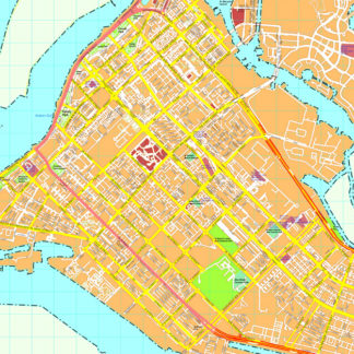
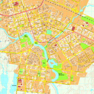
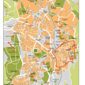
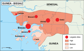
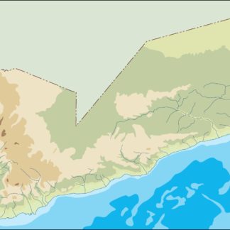
yemen illustrator map. You can download our Illustrator map. As any vector file you can edit any part of the map. Your map is also layer structured. Then you can modify any point, line or color from our cartography. It is ideal for your products, from a book to any production.
Vector maps from Asia. Illustrator EPS files, fully editable from our Asian Country map database. All our digital cartography was created with Vector Adobe Illustrator
Our country maps from Netmaps® pioneered the use of firstly MacroMedia Freehand and later Adobe Illustrator® for map-making.
From 1997 using the graphic tools in vector software as Adobe Illustrator, we have created a map collection that set the standard for professional quality vector maps for graphic design professionals in all the world. Clients in 118 countries is our best reference.
Our maps are ready to use, and give you the flexibility to easily modify the appearance of the map to meet a wide variety of design specifications for any project – print, web, multi-media, and broadcast.
In this collection of Vector EPS country Maps, you can find contour line maps of the country. It is one of the simplest maps of the countries in our website. You can fin more options seeking in our search option.
Once you order map online we will send you map via email and We Transfer. It is a manual service for security reasons and it takes usually just minutes.

