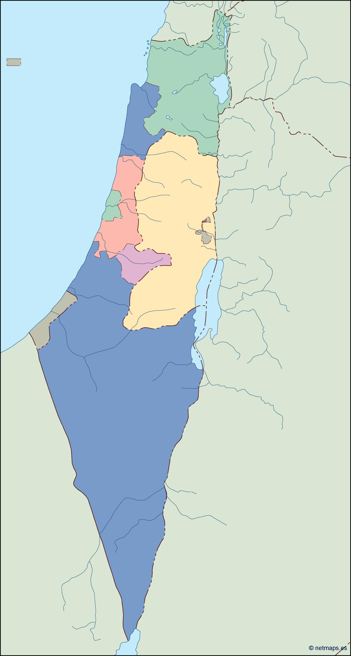
israel blind eps map vector

35.00 

israel blind map

Digital file

Our original maps are vector files, but we can export them to other formats as PDF or JPF high resolution (200 dpi). You just need to choose your option below.

Map is sent as Adobe Illustrator file. All information is fully editable

Map is sent as Adobe Illustrator file. All information is fully editable

Map is exported to a pdf file. Pdf can be imported directly as a vector file

Map is exported to a pdf file. Pdf can be imported directly as a vector file

Map is exported to a raster image, 200 dpi. Jpg file is delivered. It is our cheaper option, but maybe is enough for your project.

Map is exported to a raster image, 200 dpi. Jpg file is delivered. It is our cheaper option, but maybe is enough for your project.

Product price:35.00 
Total options:
Order total:
SKU: israel blind map Categories: , Tag:

Description

israel blind map. Vector maps from Asia. Illustrator EPS files, fully editable from our Asian Country map database. All our digital cartography was created with Vector Adobe Illustrator

Many times you need a blind map of a country. A map with NOT names, just with colored of the regions or provinces.

Why to pay for a complete map when you need just a simple option? That,s reason we have created our series of Blind maps of all countries of the world.

As usual vector EPS maps with all features as layer structured, easy-to-work and easy-to-change any color or line.

Take our blind map for you immediate project.