Africa Economic Maps
Our collection of digital maps in Adobe Illustrator EPS format includes a wide range of maps for various countries and regions around the world. One of our most popular collections is our Africa Economic Maps, which features detailed maps of various African countries with a focus on their economic landscape.
Each map in this collection includes important information about the country’s economy, including key industries, major cities, and other economic indicators. For example, our map of South Africa includes information about the country’s mining industry, as well as its major cities like Johannesburg and Cape Town.
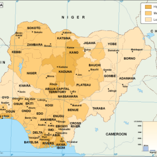
Other maps in this collection cover countries like Nigeria, Kenya, and Egypt, each with their own unique economic landscape and important cities and regions. Whether you’re a business owner looking to expand into Africa or a student studying the continent’s economy, our Africa Economic Maps collection is an invaluable resource.
Showing 1–16 of 53 resultsSorted by latest
-

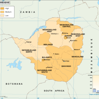
Zimbabwe economic eps map vector
75.00 € Select options -
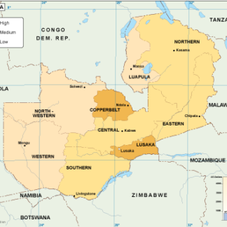
Zambia economic eps map vector
75.00 € Select options -

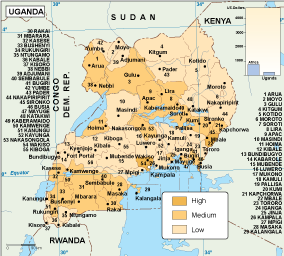
Uganda economic eps map vector
75.00 € Select options -

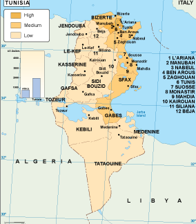
Tunisia economic eps map vector
75.00 € Select options -
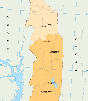
Togo economic eps map vector
75.00 € Select options -
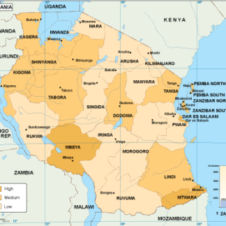
Tanzania economic eps map vector
75.00 € Select options -

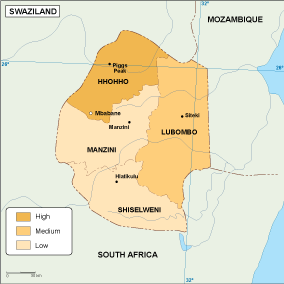
Swaziland economic eps map vector
75.00 € Select options -
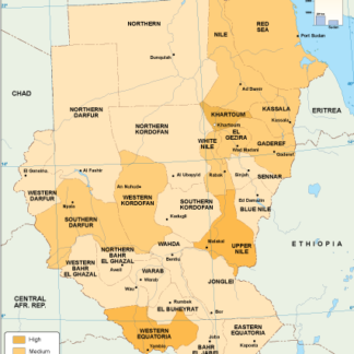
Sudan economic eps map vector
75.00 € Select options -
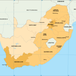
South Africa economic eps map vector
75.00 € Select options -
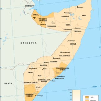
Somalia economic eps map vector
75.00 € Select options -
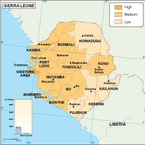
Sierra Leone economic eps map vector
75.00 € Select options -
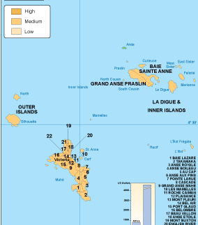
Seychelles economic eps map vector
75.00 € Select options -

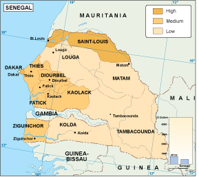
Senegal economic eps map vector
75.00 € Select options -
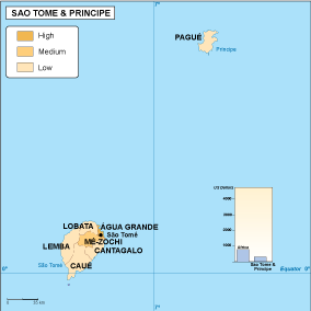
Sao Tome e Principe economic eps map vector
75.00 € Select options -

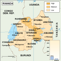
Rwanda economic eps map vector
75.00 € Select options -
Nigeria economic eps map vector
75.00 € Select options
Showing 1–16 of 53 resultsSorted by latest