Africa Transportation Maps
Our collection of digital maps in Adobe Illustrator EPS format includes a variety of maps for different countries and regions around the world. One of our popular collections is the Africa Transportation Maps, which features detailed maps of various African countries with a focus on transportation infrastructure.
These maps are designed to provide users with a comprehensive view of the transportation networks in each country, including major highways, railways, airports, and seaports. They also highlight important cities and towns, as well as key landmarks and attractions.
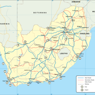
For example, our map of South Africa shows the major highways that connect Johannesburg, Cape Town, and Durban, as well as the country’s major airports and seaports. The map also highlights important cities like Pretoria, Bloemfontein, and Port Elizabeth, and includes information on popular tourist destinations like Kruger National Park and Table Mountain.
Similarly, our map of Kenya shows the major highways that connect Nairobi, Mombasa, and Kisumu, as well as the country’s major airports and seaports. The map also highlights important cities like Nakuru, Eldoret, and Malindi, and includes information on popular tourist destinations like Maasai Mara National Reserve and Mount Kenya.
Overall, our collection of Africa Transportation Maps is a valuable resource for anyone looking to explore the transportation infrastructure and key cities of various African countries. With detailed information on highways, railways, airports, and seaports, these maps are an essential tool for travelers, researchers, and businesses operating in Africa.
Showing 1–16 of 53 results
-

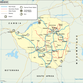
Zimbabwe transportation eps map vector
55.00 € Select options -

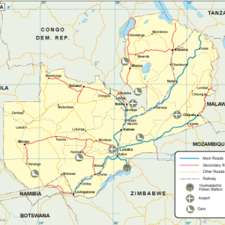
Zambia transportation eps map vector
55.00 € Select options -

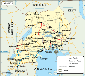
Uganda transportation eps map vector
55.00 € Select options -

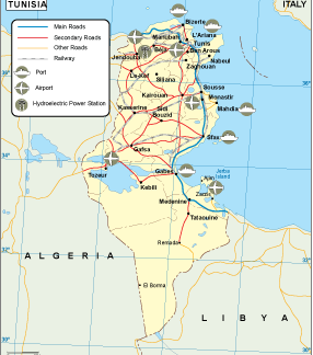
Tunisia transportation eps map vector
55.00 € Select options -

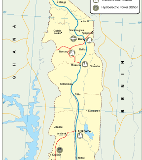
Togo transportation eps map vector
55.00 € Select options -

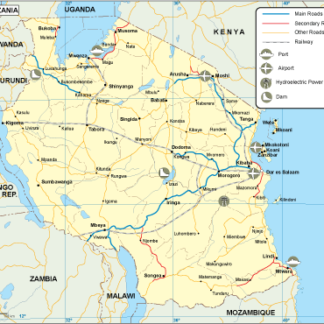
Tanzania transportation eps map vector
55.00 € Select options -

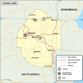
Swaziland transportation eps map vector
55.00 € Select options -

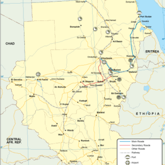
Sudan transportation eps map vector
55.00 € Select options -

South Africa transportation eps map vector
55.00 € Select options -

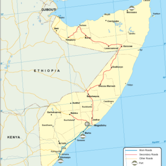
Somalia transportation eps map vector
55.00 € Select options -

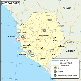
Sierra Leone transportation eps map vector
55.00 € Select options -

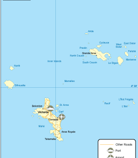
Seychelles transportation eps map vector
55.00 € Select options -

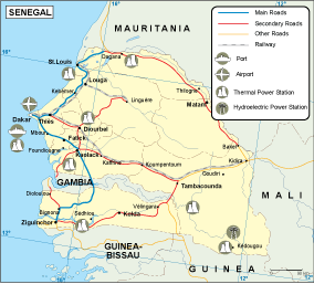
Senegal transportation eps map vector
55.00 € Select options -

Sao Tome e Principe transportation eps map vector
55.00 € Select options -

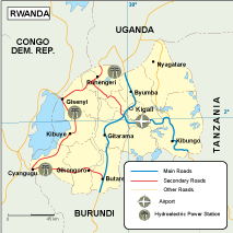
Rwanda transportation eps map vector
55.00 € Select options -

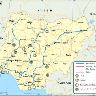
Nigeria transportation eps map vector
55.00 € Select options
Showing 1–16 of 53 results
