Africa Population Maps
Our collection of digital maps in Adobe Illustrator EPS format includes a variety of maps for different countries and regions around the world. One of our most popular collections is our Africa Population Maps, which provide detailed information on the population distribution and density across the continent.
These maps are designed to be highly accurate and up-to-date, with information sourced from a range of reliable data sources. They include detailed information on major cities and towns, as well as key landmarks and geographical features.
In addition to providing valuable information on population density, our Africa Population Maps can also be used to explore the cultural and historical significance of different regions across the continent. Whether you are a researcher, educator, or simply a curious traveler, these maps are an invaluable resource for understanding the complex and diverse landscape of Africa.
So if you are looking for high-quality digital maps that are both informative and visually stunning, look no further than our collection of Africa Population Maps in Adobe Illustrator EPS format. With their detailed information and beautiful design, these maps are sure to be a valuable addition to any collection.
Showing 1–16 of 53 results
-

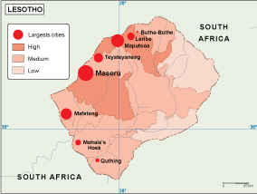
Lesotho Population eps map vector
60.00 € Select options -

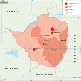
Zimbabwe population eps map vector
60.00 € Select options -
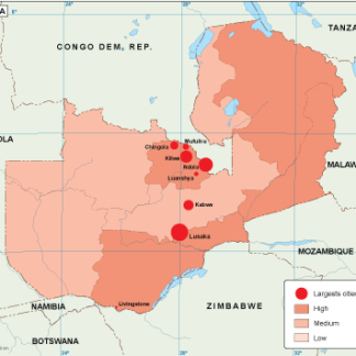
Zambia population eps map vector
60.00 € Select options -

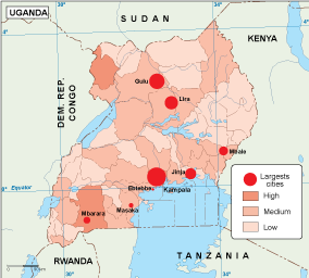
Uganda population eps map vector
60.00 € Select options -

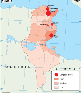
Tunisia population eps map vector
60.00 € Select options -
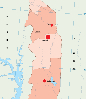
Togo population eps map vector
60.00 € Select options -
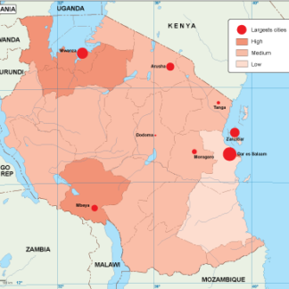
Tanzania population eps map vector
60.00 € Select options -

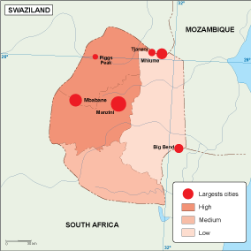
Swaziland population eps map vector
60.00 € Select options -
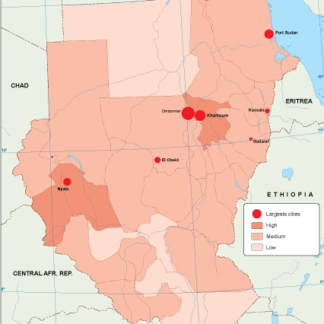
Sudan population eps map vector
60.00 € Select options -
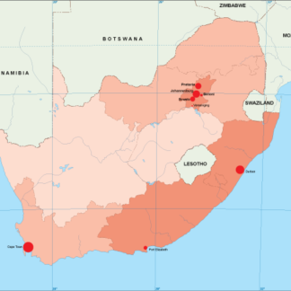
South Africa population eps map vector
60.00 € Select options -
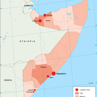
Somalia population eps map vector
60.00 € Select options -
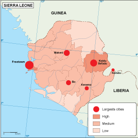
Sierra Leone population eps map vector
60.00 € Select options -
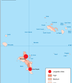
Seychelles population eps map vector
60.00 € Select options -

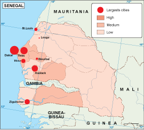
Senegal population eps map vector
60.00 € Select options -
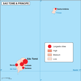
Sao Tome e Principe population eps map vector
60.00 € Select options -

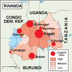
Rwanda population eps map vector
60.00 € Select options
Showing 1–16 of 53 results