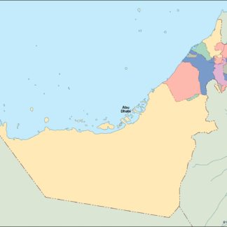
United Arab Emirates eps country maps
Our collection of United Arab Emirates EPS country maps is a comprehensive set of digital maps created using Adobe Illustrator. These maps are designed to provide accurate and detailed information about the geography, cities, and landmarks of the United Arab Emirates.
Each map in our collection is created with precision and attention to detail, ensuring that users can easily navigate and explore the country. The maps are available in a range of formats, including high-resolution EPS files that can be easily edited and customized to suit your needs.
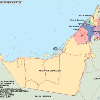
Our United Arab Emirates EPS country maps include detailed information about the major cities and landmarks of the country, including Abu Dhabi, Dubai, Sharjah, and more. Users can easily locate important landmarks such as the Burj Khalifa, the Sheikh Zayed Grand Mosque, and the Dubai Mall.
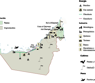
In addition to providing detailed information about the geography and landmarks of the United Arab Emirates, our maps also include important information about the country’s political and economic situation. This information can be useful for businesses and organizations looking to expand their operations in the region.
Overall, our collection of United Arab Emirates EPS country maps is an essential resource for anyone looking to explore or do business in this dynamic and rapidly growing country. With accurate and detailed information about the geography, cities, and landmarks of the United Arab Emirates, our maps are an invaluable tool for anyone looking to navigate this fascinating country.
Showing all 5 resultsSorted by latest
-

United Arab Emirates Economic eps map vector
75.00 € Select options -

united arab emirates illustrator eps map vector
29.00 € Select options -
united arab emirates political eps map vector
99.00 € Select options -
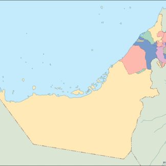
united arab emirates blind eps map vector
35.00 € Select options -
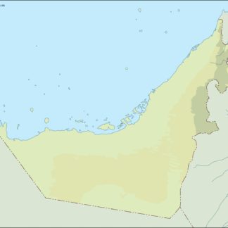
united arab emirates eps map vector
39.00 € Select options
Showing all 5 resultsSorted by latest