Europe
EPSMaps.com offers a wide range of digital map collections for businesses in Adobe Illustrator EPS format. These maps are designed to provide accurate and detailed information about various countries and regions around the world.
Our collection of European maps includes detailed maps of countries such as France, Germany, Italy, Spain, and the United Kingdom. Each map is designed to provide a comprehensive overview of the country, including its major cities, landmarks, and geographical features.
For example, our map of France includes detailed information about the country’s major cities, including Paris, Marseille, and Lyon. It also highlights important landmarks such as the Eiffel Tower, the Louvre Museum, and the Palace of Versailles. Additionally, the map provides information about France’s regions, including Brittany, Normandy, and the French Riviera.
Similarly, our map of Germany provides detailed information about the country’s major cities, including Berlin, Munich, and Hamburg. It also highlights important landmarks such as the Brandenburg Gate, Neuschwanstein Castle, and the Berlin Wall. Additionally, the map provides information about Germany’s states, including Bavaria, Saxony, and North Rhine-Westphalia.
Overall, our collection of European maps is designed to provide businesses with accurate and detailed information about various countries and regions in Europe. Whether you need a map for marketing purposes or for internal use, EPSMaps.com has the perfect map for your needs.
Showing 1–16 of 50 results
-

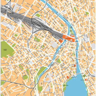
Zurich Illustrator eps map vector
160.00 € Select options -
Zagreb Illustrator eps map vector
160.00 € Select options -
Warsaw Illustrator eps map vector
160.00 € Select options -
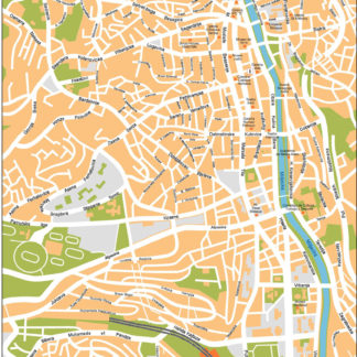
Vilnius Illustrator eps map vector
160.00 € Select options -
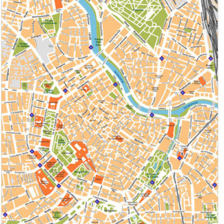
Vienna Illustrator eps map vector
160.00 € Select options -
Venice Illustrator eps map vector
160.00 € Select options -
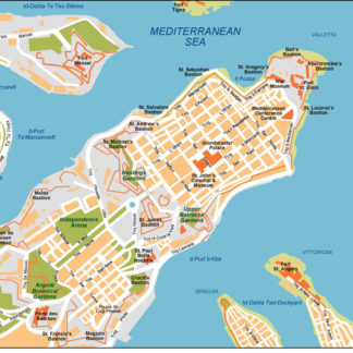
Valleta Illustrator eps map vector
160.00 € Select options -
Valencia Illustrator eps map vector
160.00 € Select options -
Tirana Illustrator eps map vector
160.00 € Select options -
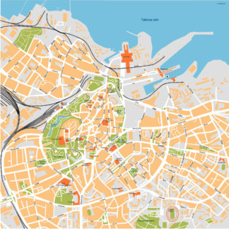
Tallinn Illustrator eps map vector
160.00 € Select options -
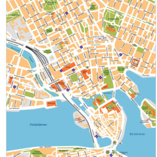
Stockholm Illustrator eps map vector
160.00 € Select options -
Sofia Illustrator eps map vector
160.00 € Select options -
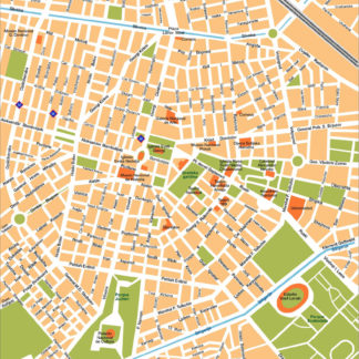
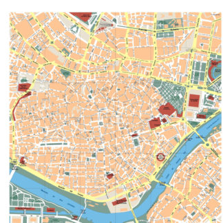
Sevilla Illustrator eps map vector
160.00 € Select options -
Sarajevo Illustrator eps map vector
160.00 € Select options -
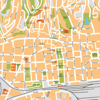
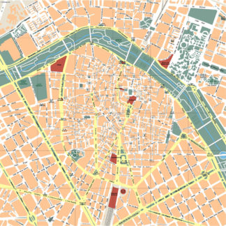
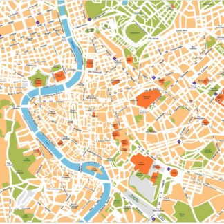
Roma Illustrator eps map vector
160.00 € Select options -
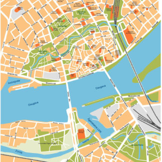
Riga Illustrator eps map vector
160.00 € Select options

Showing 1–16 of 50 results