Oceania
EPSMaps.com offers a wide range of digital map collections for businesses in Adobe Illustrator EPS format. Our maps are designed to provide accurate and detailed information about various countries and regions around the world. In this article, we will focus on our collection of maps for Oceania.
Oceania is a region that comprises of several island nations in the Pacific Ocean. Our collection of maps for Oceania includes detailed maps of Australia, New Zealand, Fiji, Papua New Guinea, and other island nations in the region. These maps are designed to provide businesses with accurate information about the geography, cities, and important landmarks in each country.
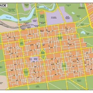
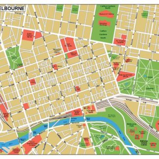
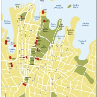
Our maps of Australia provide detailed information about the country’s states and territories, major cities, and important landmarks such as Uluru, the Great Barrier Reef, and the Sydney Opera House. The maps also include information about the country’s major highways, railways, and airports, making it easy for businesses to plan their logistics and transportation.
Our maps of New Zealand provide detailed information about the country’s two main islands, North Island and South Island, as well as its major cities such as Auckland, Wellington, and Christchurch. The maps also include information about the country’s national parks, ski resorts, and other important landmarks.
Our maps of Fiji provide detailed information about the country’s islands, major cities, and important landmarks such as the Yasawa Islands, the Coral Coast, and the Sigatoka Sand Dunes. The maps also include information about the country’s major highways, airports, and ports, making it easy for businesses to plan their logistics and transportation.
Our maps of Papua New Guinea provide detailed information about the country’s provinces, major cities, and important landmarks such as the Kokoda Track, the Sepik River, and the Bismarck Sea. The maps also include information about the country’s major highways, airports, and ports, making it easy for businesses to plan their logistics and transportation.
Overall, our collection of maps for Oceania provides businesses with accurate and detailed information about the geography, cities, and important landmarks in each country. These maps are designed to help businesses plan their logistics and transportation, as well as gain a better understanding of the region’s geography and culture.
Showing all 3 results
-

Adelaide eps illustrator vector map
140.00 € Select options -
Melbourne eps illustrator vector map
140.00 € Select options -
Sydney eps illustrator vector map
140.00 € Select options
Showing all 3 results