America
EPSMaps.com offers a wide range of digital map collections for businesses in Adobe Illustrator EPS format. These maps are designed to provide accurate and detailed information about various countries and regions around the world. Our maps are perfect for businesses that require high-quality maps for their marketing, advertising, and promotional materials.
Our collection of maps includes maps of North America, South America, Europe, Asia, Africa, and Australia. Each map is designed to provide detailed information about the country or region it represents. For example, our North America map includes information about the United States, Canada, and Mexico, including major cities, highways, and landmarks.
Our South America map includes information about countries such as Brazil, Argentina, and Chile, as well as important cities like Rio de Janeiro, Buenos Aires, and Santiago. Our Europe map includes information about countries such as France, Germany, and Italy, as well as important cities like Paris, Berlin, and Rome.
Our Asia map includes information about countries such as China, Japan, and India, as well as important cities like Beijing, Tokyo, and Mumbai. Our Africa map includes information about countries such as Egypt, South Africa, and Kenya, as well as important cities like Cairo, Johannesburg, and Nairobi.
Finally, our Australia map includes information about the country’s major cities, including Sydney, Melbourne, and Brisbane. Each map is designed to be easy to read and understand, with clear labeling and accurate information. With EPSMaps.com, businesses can access high-quality digital maps that are perfect for their needs.
Showing 1–16 of 23 results
-

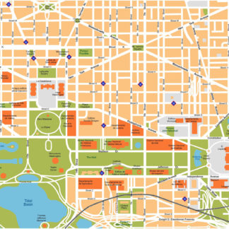
Washington Illustrator eps map vector
160.00 € Select options -
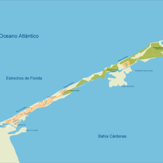
Varadero Illustrator eps map vector
160.00 € Select options -
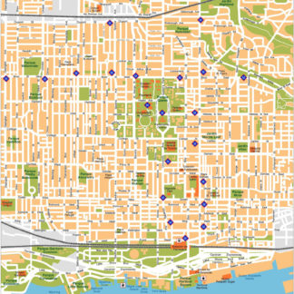
Toronto Illustrator eps map vector
160.00 € Select options -
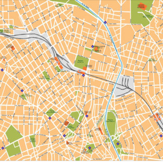
Sao Paulo Illustrator eps map vector
160.00 € Select options -
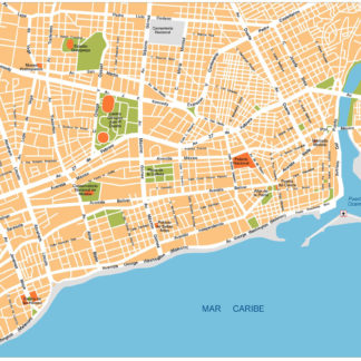
Santo Domingo Illustrator eps map vector
160.00 € Select options -
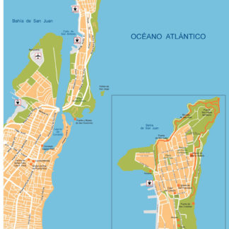
San Juan Illustrator eps map vector
160.00 € Select options -
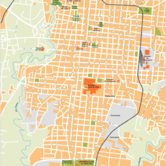
San Jose Illustrator eps map vector
160.00 € Select options -
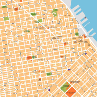
San Francisco Illustrator eps map vector
160.00 € Select options -
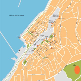
Salvador Bahia Illustrator eps map vector
160.00 € Select options -
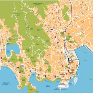
Rio De Janeiro Illustrator eps map vector
160.00 € Select options -
Ottawa Illustrator eps map vector
160.00 € Select options -
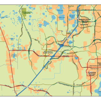
Protected: Orlando Illustrator eps map vector
160.00 € Select options -
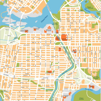
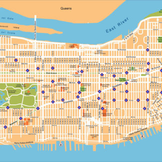
New York Illustrator eps map vector
160.00 € Select options -
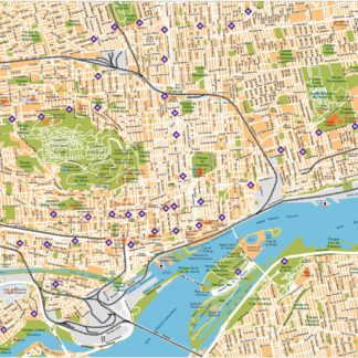
Montreal Illustrator eps map vector
160.00 € Select options -
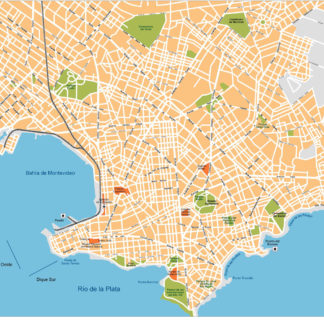
Montevideo Illustrator eps map vector
160.00 € Select options -
Miami Illustrator eps map vector
160.00 € Select options
Showing 1–16 of 23 results