Portugal eps city maps
Digital map collections in Adobe Illustrator EPS format are a valuable resource for web designers and cartographers alike. These collections typically include a variety of maps for different regions and countries, each with its own unique features and details.
For example, the Portugal EPS city maps collection would include detailed maps of major cities such as Lisbon, Porto, and Faro, as well as smaller towns and villages throughout the country. These maps would show important landmarks, streets, and neighborhoods, as well as transportation routes such as highways, railways, and airports.
In addition to these basic features, the maps may also include additional information such as tourist attractions, historical sites, and natural landmarks. This information can be useful for travelers and tourists who are looking to explore the country and learn more about its culture and history.
Overall, digital map collections in Adobe Illustrator EPS format are an essential tool for anyone who needs to create accurate and detailed maps for a variety of purposes. Whether you are designing a website, creating a brochure, or planning a trip, these maps can provide the information and guidance you need to make informed decisions and achieve your goals.
Showing 1–16 of 26 results
-

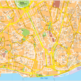
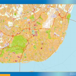
Lisbon Vector EPS map vector
280.00 € Select options -
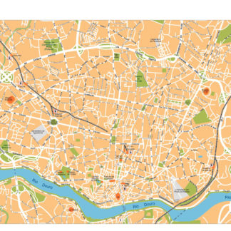
Porto Illustrator eps map vector
160.00 € Select options -
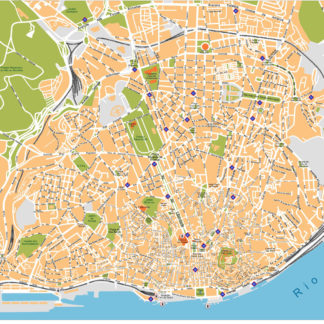
Lisboa Illustrator eps map vector
160.00 € Select options -
Porto eps map vector
845.00 € Select options -
Aveiro eps map vector
690.00 € Select options -
Braga eps map vector
795.00 € Select options -
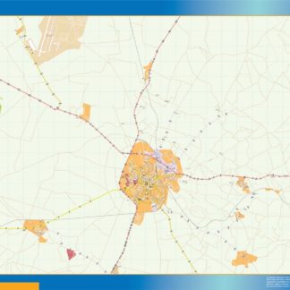
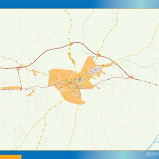
Beja eps map vector
590.00 € Select options -
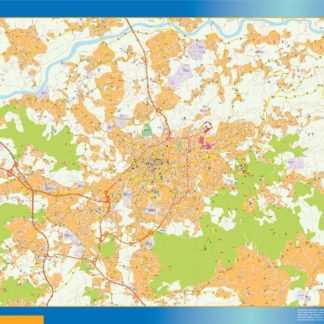
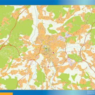
Coimbra eps map vector
795.00 € Select options -
Elvas eps map vector
595.00 € Select options -
Funchal eps map vector
695.00 € Select options -
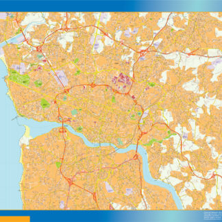
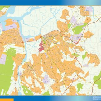
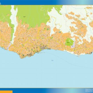
Grande Area Lisboa eps map vector
1,100.00 € Select options -
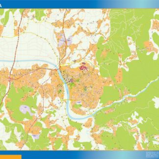
Grande Area Porto eps map vector
645.00 € Select options -
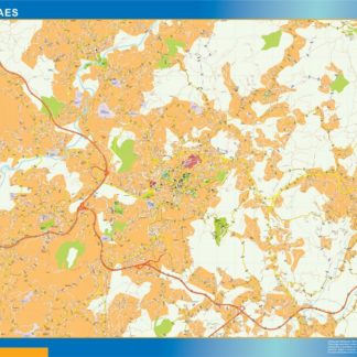
Guimaraes eps map vector
795.00 € Select options -
Leiria eps map vector
795.00 € Select options -
Lisboa map
990.00 € Select options -
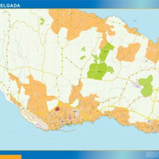
Ponta Delgada eps map vector
795.00 € Select options


Showing 1–16 of 26 results