Portugal eps country maps
Our collection of digital maps in Adobe Illustrator EPS format includes maps of various countries, including Portugal. These maps are designed to be highly detailed and accurate, providing users with a comprehensive view of the country’s geography, cities, and landmarks.
The Portugal EPS country maps in our collection feature a range of important information, including the location of major cities such as Lisbon, Porto, and Faro. These maps also highlight important landmarks and attractions, such as the Douro Valley, the Algarve region, and the historic city of Sintra.
In addition to providing detailed information about the country’s geography and landmarks, our Portugal EPS country maps also include important transportation information. This includes major highways, airports, and train stations, making it easy for users to plan their travel routes and navigate the country with ease.
Overall, our collection of digital maps in Adobe Illustrator EPS format is an essential resource for anyone looking to explore Portugal or any other country in detail. With accurate and detailed information about geography, cities, and transportation, these maps are an invaluable tool for travelers, researchers, and anyone else interested in learning more about the world around them.
Showing all 8 results
-

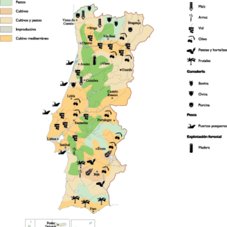
Portugal Agricultural eps map vector
70.00 € Select options -
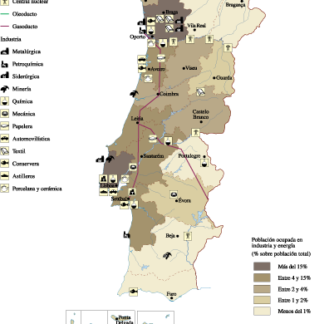
Portugal Economic eps map vector
75.00 € Select options -
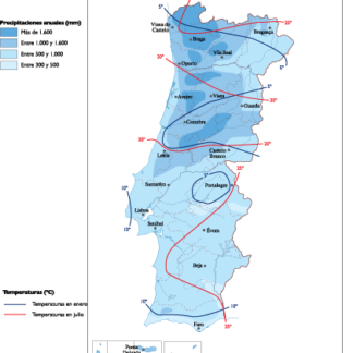
Portugal Climate eps map vector
65.00 € Select options -

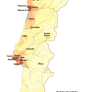
Portugal Population eps map vector
60.00 € Select options -
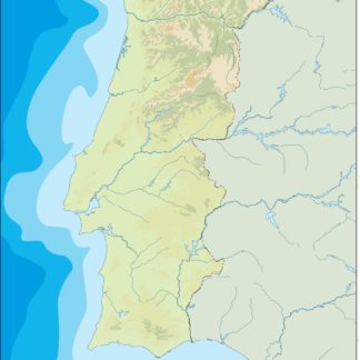
portugal illustrator eps map vector
29.00 € Select options -
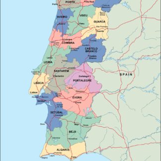
portugal political eps map vector
99.00 € Select options -
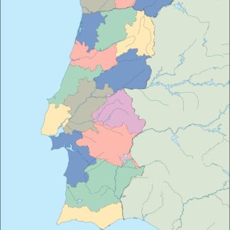
portugal blind eps map vector
35.00 € Select options -
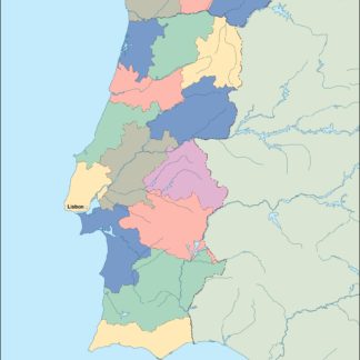
portugal eps map vector
39.00 € Select options
Showing all 8 results