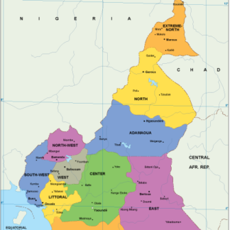
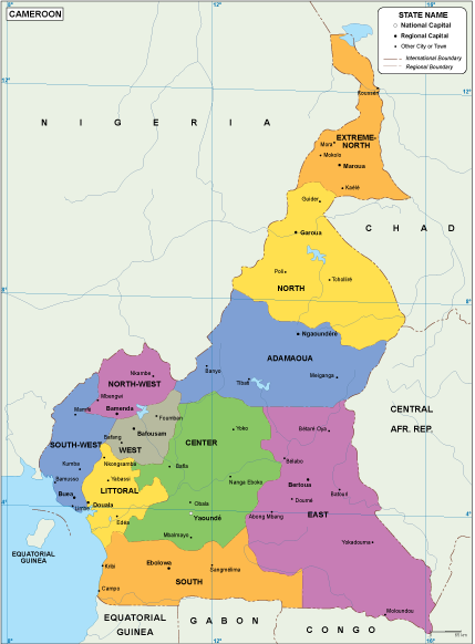
Description
Cameroon EPS map. Cameroon vector map. Vector maps from Africa. Illustrator EPS files, fully editable from our African map database. All our digital cartography was created with Vector Adobe Illustrator
Vector eps City maps of the cities and countries of the world. More than 10 000 vector files
80.00 €
Cameroon EPS map. Cameroon Map in Africa.
Cameroon EPS map. Cameroon vector map. Vector maps from Africa. Illustrator EPS files, fully editable from our African map database. All our digital cartography was created with Vector Adobe Illustrator