Description
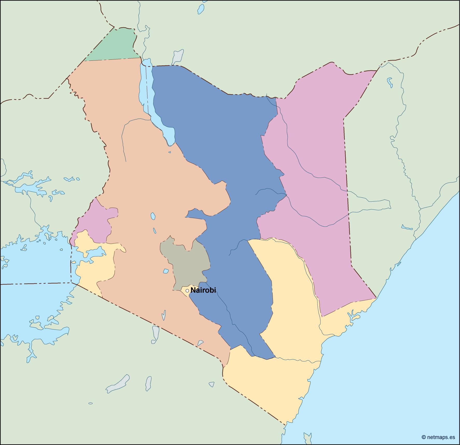
kenya vector map. Vector maps from Africa. Illustrator EPS files, fully editable from our African map database. All our digital cartography was created with Vector Adobe Illustrator
Vector eps City maps of the cities and countries of the world. More than 10 000 vector files
39.00 €
illustrator for sale
Kenya is a country located in East Africa, bordered by Tanzania to the south, Uganda to the west, South Sudan to the northwest, Ethiopia to the north, Somalia to the east, and the Indian Ocean to the southeast. The capital city of Kenya is Nairobi, which is located in the southern part of the country.
The Kenya EPS map vector illustrator for sale is a high-quality map that is perfect for use in a variety of applications. The map is designed to be used in Adobe Illustrator, and it is available in both EPS and AI formats. The map is fully editable, which means that you can customize it to suit your needs.
The Kenya EPS map vector illustrator for sale includes all of the major cities and towns in the country, as well as the major roads and highways. The map also includes the major rivers and lakes in the country, as well as the national parks and wildlife reserves.
One of the most important features of the Kenya EPS map vector illustrator for sale is its accuracy. The map is based on the latest data from the Kenyan government, and it is updated regularly to ensure that it is always up-to-date.
The Kenya EPS map vector illustrator for sale is perfect for use in a variety of applications, including:
– Educational materials: The map is perfect for use in textbooks, classroom presentations, and other educational materials.
– Travel guides: The map is ideal for use in travel guides and brochures, as it provides a clear and accurate representation of the country.
– Business presentations: The map is perfect for use in business presentations, as it provides a clear and professional representation of the country.
– Websites: The map is ideal for use on websites, as it can be easily customized to suit the needs of the website.
Overall, the Kenya EPS map vector illustrator for sale is an excellent investment for anyone who needs an accurate and high-quality map of Kenya. Whether you are an educator, a travel guide writer, a business professional, or a website designer, this map is sure to meet your needs.
kenya vector map. Vector maps from Africa. Illustrator EPS files, fully editable from our African map database. All our digital cartography was created with Vector Adobe Illustrator