Description
benin vector map. Benin maps. Vector maps from Africa. Illustrator EPS files, fully editable from our African map database. All our digital cartography was created with Vector Adobe Illustrator
Vector eps City maps of the cities and countries of the world. More than 10 000 vector files
39.00 €
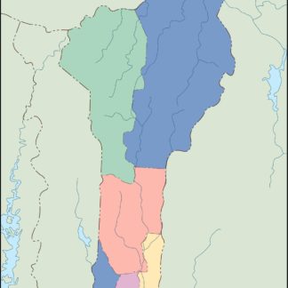
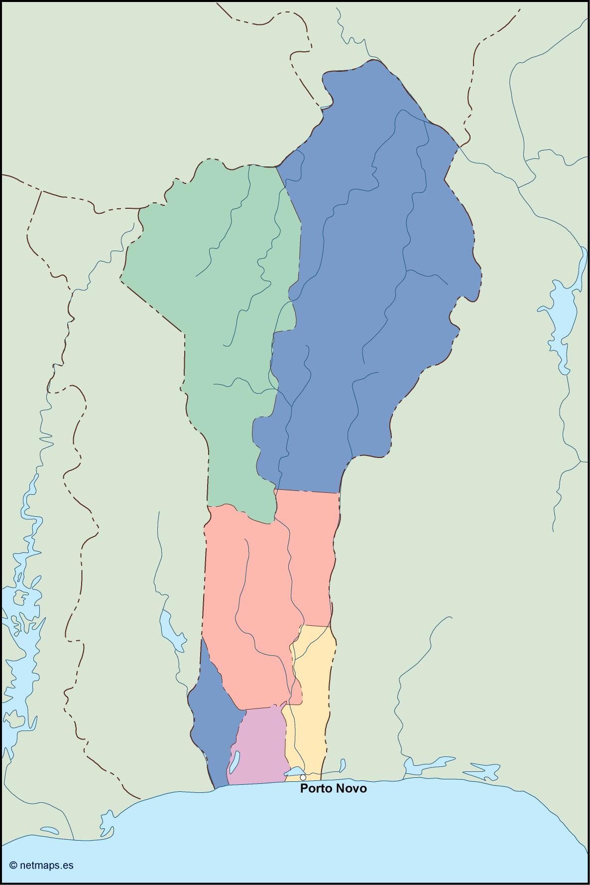
Benin is a country located in West Africa, bordered by Togo to the west, Nigeria to the east, Burkina Faso to the north-west, and Niger to the north-east. The country has a population of approximately 12 million people and its capital is Porto-Novo, which is located in the south-eastern part of the country.
The Benin EPS map vector is a detailed representation of the country’s geography, including its borders, cities, and major landmarks. The map is designed to be used in a variety of applications, including print and digital media, and is available in a range of formats to suit different needs.
The map is divided into several regions, each of which is color-coded for easy identification. The northern part of the country is dominated by the Sahel region, which is characterized by semi-arid grasslands and savannas. The central part of the country is home to the Oueme River, which is the largest river in Benin and provides water for irrigation and fishing.
The southern part of the country is dominated by the coastal plain, which is home to the country’s major cities, including Porto-Novo and Cotonou. The coastal plain is also home to the Mono River, which forms the border between Benin and Togo.
The Benin EPS map vector includes a range of features, including major roads, railways, airports, and seaports. The map also includes a range of natural features, including mountains, rivers, and lakes.
One of the most notable features of the Benin EPS map vector is the inclusion of the country’s national parks and wildlife reserves. These areas are highlighted in green and provide important habitats for a range of species, including elephants, lions, and hippos.
Overall, the Benin EPS map vector is a comprehensive and detailed representation of the country’s geography, and is an essential tool for anyone looking to explore or do business in Benin. Whether you are a tourist, a business owner, or a researcher, this map provides a wealth of information about the country’s geography, culture, and natural resources.
benin vector map. Benin maps. Vector maps from Africa. Illustrator EPS files, fully editable from our African map database. All our digital cartography was created with Vector Adobe Illustrator