Description
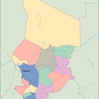
chad vector map. Vector maps from Africa. Illustrator EPS files, fully editable from our African map database. All our digital cartography was created with Vector Adobe Illustrator
Vector eps City maps of the cities and countries of the world. More than 10 000 vector files
39.00 €
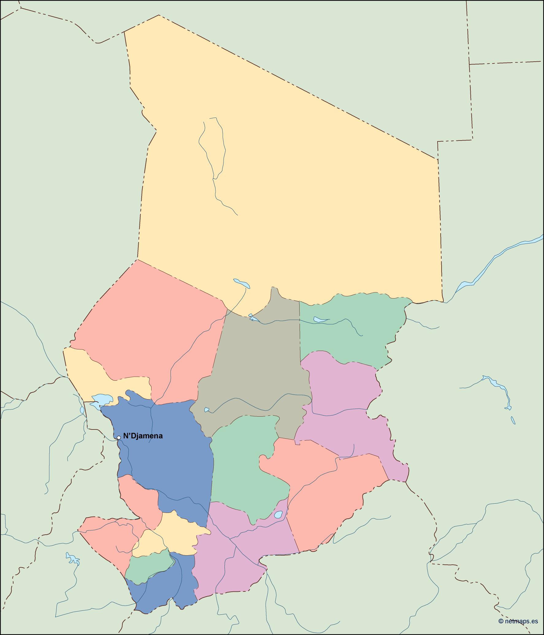
The EPS vector illustrator map of Chad includes the country’s name, capital, and location within its continent. The country of Chad is located in Central Africa, bordered by Libya to the north, Sudan to the east, the Central African Republic to the south, Cameroon and Nigeria to the southwest, and Niger to the west. The capital city of Chad is N’Djamena, located in the southwestern part of the country. The map includes detailed geographical features such as rivers, lakes, and mountains, as well as major cities and towns. The EPS vector format allows for easy customization and scaling of the map for various uses.
chad vector map. Vector maps from Africa. Illustrator EPS files, fully editable from our African map database. All our digital cartography was created with Vector Adobe Illustrator