Description
congo vector map. Vector maps from Africa. Illustrator EPS files, fully editable from our African map database. All our digital cartography was created with Vector Adobe Illustrator
Vector eps City maps of the cities and countries of the world. More than 10 000 vector files
39.00 €
illustrator for sale
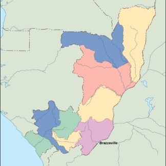
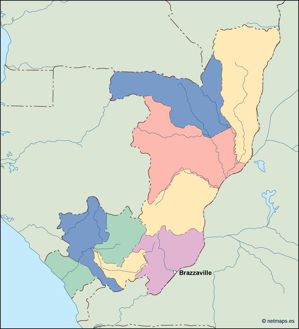
This EPS vector illustrator map depicts the country of Congo, located in the continent of Africa. The capital city, Kinshasa, is marked on the map. The country is bordered by the Central African Republic, South Sudan, Uganda, Rwanda, Burundi, Tanzania, Zambia, Angola, and the Atlantic Ocean. The map includes major cities, rivers, lakes, and other geographical features. This map is available for sale in EPS vector format, which allows for easy customization and scaling.
congo vector map. Vector maps from Africa. Illustrator EPS files, fully editable from our African map database. All our digital cartography was created with Vector Adobe Illustrator