Description
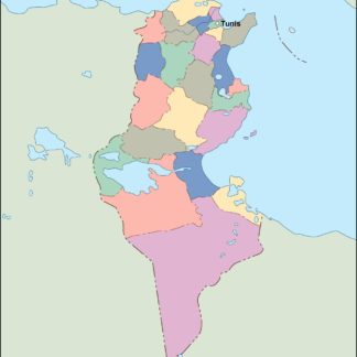
tunisia vector map. Vector maps from Africa. Illustrator EPS files, fully editable from our African map database. All our digital cartography was created with Vector Adobe Illustrator
Vector eps City maps of the cities and countries of the world. More than 10 000 vector files
39.00 €
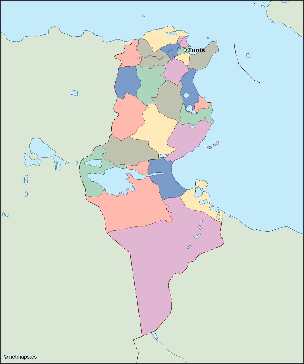
Tunisia is a beautiful country located in North Africa. It is bordered by Algeria to the west, Libya to the southeast, and the Mediterranean Sea to the north and east. The capital of Tunisia is Tunis, which is located in the northeast of the country.
The Tunisia EPS map vector is a detailed representation of the country’s geography, including its cities, towns, and natural features. The map is designed to be used in a variety of applications, including tourism, education, and business.
The map is created using vector graphics, which means that it can be scaled to any size without losing its quality. This makes it ideal for use in large format printing, such as billboards and posters.
The Tunisia EPS map vector includes all of the major cities and towns in the country, including Tunis, Sfax, Sousse, and Gabes. Each city is represented by a unique icon, making it easy to identify and locate on the map.
In addition to the cities and towns, the map also includes the major highways and roads that connect them. This makes it easy to plan travel routes and navigate the country.
The natural features of Tunisia are also prominently displayed on the map. The Mediterranean Sea is shown in blue, while the Sahara Desert is depicted in yellow. The Atlas Mountains, which run through the western part of the country, are shown in green.
The Tunisia EPS map vector also includes a detailed legend, which explains the various symbols and colors used on the map. This makes it easy for users to understand the information presented on the map.
Overall, the Tunisia EPS map vector is an essential tool for anyone who wants to explore or do business in this beautiful North African country. Its detailed and accurate representation of the geography and infrastructure of Tunisia makes it an invaluable resource for travelers, educators, and business professionals alike.
tunisia vector map. Vector maps from Africa. Illustrator EPS files, fully editable from our African map database. All our digital cartography was created with Vector Adobe Illustrator